Map of Aruba
Aruba is an autonomous part of the Kingdom of the Netherlands with full autonomy in internal affairs since 1986, upon separation from the Netherlands Antilles. Aruba is an island with white sandy beaches in the Caribbean Sea, north of Venezuela. The Dutch Government is responsible for defense and foreign affairs.
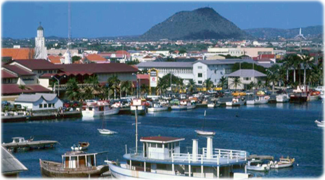
Port of Oranjestad, capital of Aruba.

|
Copyright © Geographic Guide - Travel and Maps, American Continent. |