|
Copyright © Geographic Guide - Travel American Continent. |
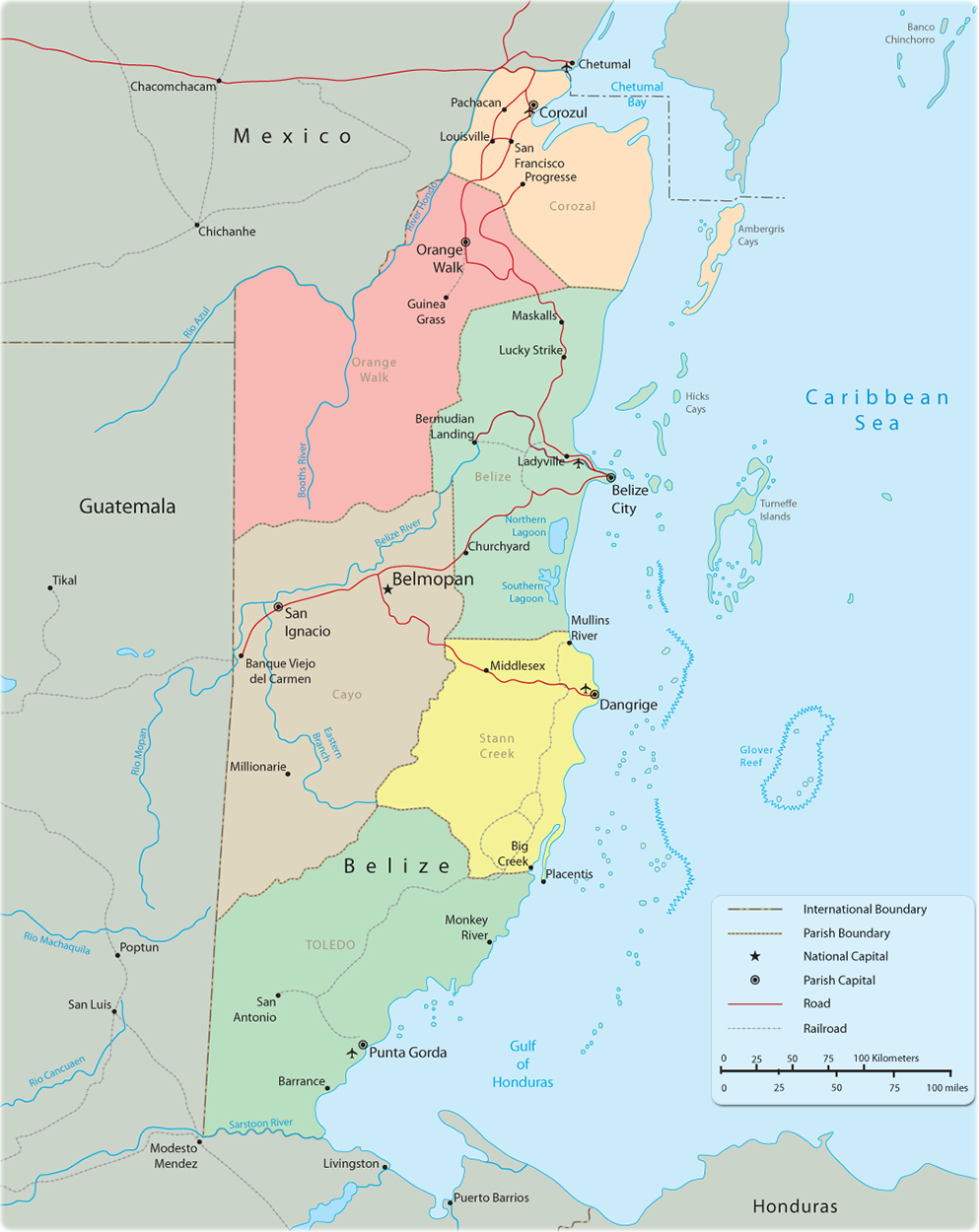
Political Map of Belize
|
Copyright © Geographic Guide - Travel American Continent. |
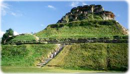
Mayan Ruins, El Castillo Xunantunich.
Belize is a country in Central America that borders the Caribbean Sea. It was ruled by Britain for almost two centuries and until 1973 was known as British Honduras. Belize became independent in 1981. Belize City is the country’s largest city and was the capital until 1972. After severe hurricanes damaged Belize City, which is on the coast, a new capital was built inland at Belmopan.
The country is a land of great ethnic and cultural diversity. About half of the people are black or of mixed African and European ancestry. There are also large numbers of Maya Indians and mestizos: people of mixed European and Indian ancestry. Small groups of Europeans and Asians also live in Belize. English is the language most widely spoken in Belize.
The area now known as Belize was once part of the Maya civilization, which began to develop around 2000 BC and lasted to about AD 1550. The Maya Indians were skillful farmers and developed one of the most advanced civilizations of the period. They built many elaborate temples. Today, the ruins of Maya cities attract tourists to Belize, as do the country’s scenery, wildlife and beaches.
Forests cover about 59% of the country. Belize is rich in wildlife, including jaguar, deer, tapir, monkey and kinkajou. Numerous species of birds inhabit the forests. Reptiles and amphibians include iguanas, crocodiles, and green tree frogs. Tropical fish swim in the coral reef off the coast. The country has a number of wildlife reserves, including the Cockscomb Jaguar Reserve.
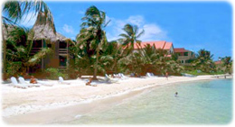
Amberges Key in Belize.


