Southern Greenland Image
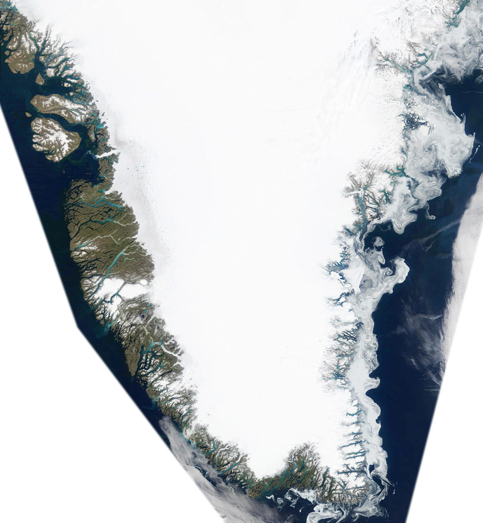
Summer has arrived in Greenland and is causing the snow and ice to melt and drain into the waters of the Labrador Sea and the Atlantic Ocean. This true-color MODIS image was acquired July 7, 2002 and shows in stunning detail just how brilliantly beautiful this landmass can be. The western side of Greenland features much more bare earth than does the eastern side.
It is possible to see the snow and ice runoff carrying silt from the hills into the Labrador Sea. The silt appears bright blue and green in the water, which is a result of the light's reflection on the water.
The eastern side of Greenland features much more broken sea ice than does the western side. The milky white swirls in the waters of the Atlantic are fields of broken sea ice. The swirls are due to currents within the water (source: NASA).

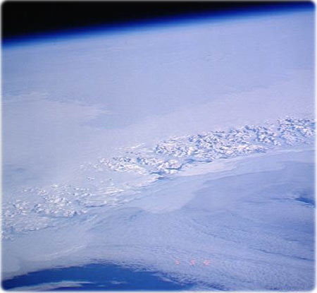
Greenland coast as seen from space (NASA).
|
Copyright © Geographic Guide - Travel American Continent. |

