Map of Hungary
◄ Hungary

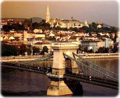
Sunset in Budapest
Political
Hungary has a total land area of 93,030 km². It is bounded on the north by Slovakia; on the northeast by Ukraine; on the east by Romania; on the south by Serbia, Croatia, and Slovenia; and on the west by Austria. The country has a maximum distance from east to west of about 500 km and a maximum distance from north to south of about 315 km. Capital Budapest.

|
Copyright © Geographic Guide - Travel European Continent. |
( CIA - 1994, edited)