Map of Iceland

Iceland is divided into eight regions: Austurland, Hofudhborgarsvaedhi, Nordhurland Eystra, Nordhurland Vestra, Sudhurland, Sudhurnes, Vestfirdhir and Vesturland. The national capital and largest city is Reykjavík.

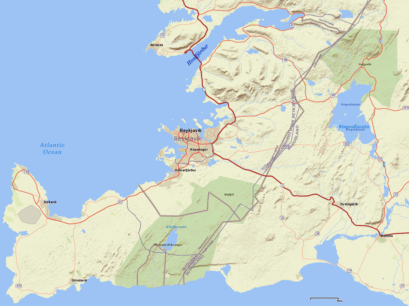
Map of Reykjavík Area
|
Copyright © Geographic Guide - Travel European Continent. |
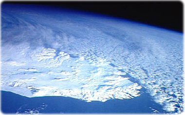
The east half of Iceland during the winter, as seen from space.

Source (edited): USGS/Coastal and Marine Geology Program.