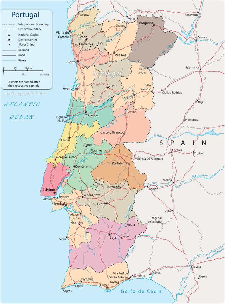
Political Map of Portugal

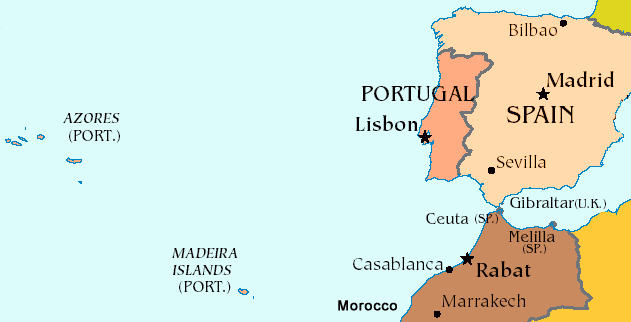
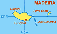
Portugal (officially República Portuguesa) is an European state in the west of the Iberian Peninsula. As the westernmost point of continental Europe, the country is bordered by Spain to the east and north and by the Atlantic Ocean to the west and south. The islands of Azores and Madeira (with Porto Santo) belong to the Portuguese national territory.

The Autonomous Region of the Azores (Açores) is an archipelago composed of nine volcanic islands in the North Atlantic Ocean, about 1,400 km west of Lisbon, capital of Portugal. There are nine major Azorean islands and an islet cluster, in three main groups. These are Flores and Corvo, to the west; Graciosa, Terceira, São Jorge, Pico, and Faial in the centre; and São Miguel, Santa Maria, and the Formigas Reef to the east. Mount Pico, on the island of Pico, is the highest point in Portugal, at 2,351 m.
More: Geography ►

|
Copyright © Geographic Guide - Travel Portugal, Europe. |
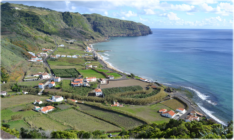
Formosa beach, in Santa Maria island, Azores (photo Klaravlasakova).


Political Map of Portugal