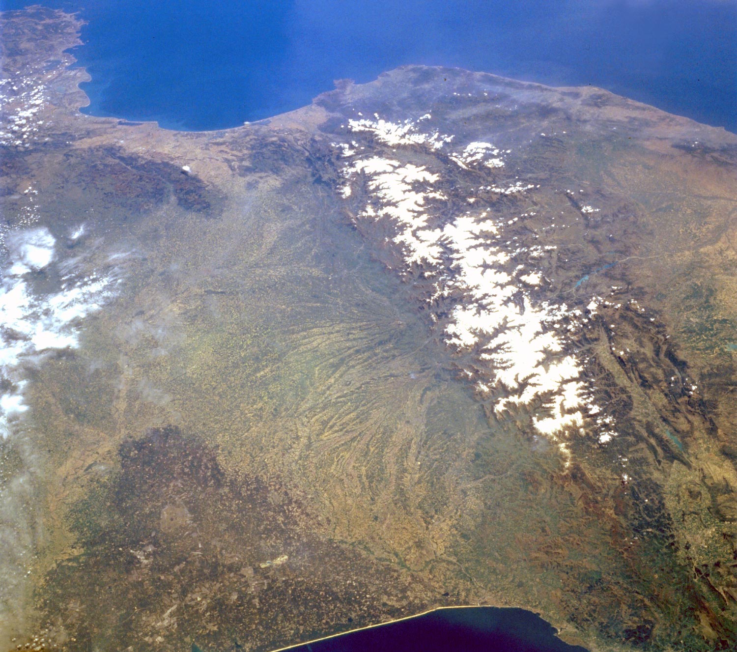
Pyrenees Mountains
The snow-covered Pyrenees Mountains (below), which form a formidable physical barrier between France to the north and Spain to the south, are the main focus of this southeast-looking photograph. Scarcely interrupted by accessible passes and pierced in only two places by railroad tunnels, the Pyrenees are an ideal natural boundary between the Iberian Peninsula and the rest of Europe. The northern flank of the Pyrenees is characterized by a series of large alluvial deposits that fan out across southwestern France. The darker, roughly triangular area in southwest France is part of the forested Aquitaine Basin. This region is near the major port city of Bordeaux (not visible in this photograph), which is known for its world-famous wine production. The southern flank of the Pyrenees (Spain) is characterized by aridity and very rugged, mountainous conditions. Human settlement is sparse throughout the Pyrenees; however, because the region is rich in mineral waters, there are dozens of mineral water resorts, and winter sports attract visitors from southwestern France. The very small mountainous country of Andorra (not distinguishable in this photograph) has survived in an inaccessible upper valley of the Pyrenees (NASA - April 1985).
(Source U.S. Geological Survey)
Pyrenees Mountains, France and Spain Winter/Spring, 1997 (NASA). The east to west trending snow capped Pyrenees Mountains form a natural border between France and Spain. Large, alluvial fans can be seen radiating northward providing rich soils for a thriving agricultural economy on the French side of the mountains. While south of the mountains in Spain, the landscape is more rugged with numerous escarpments and steep cliffs that parallel the main axis of the Pyrenees. Within the higher elevations of the Pyrenees, numerous, deep glacially formed U-shaped valleys are arrayed in no set pattern. The picturesque but rugged terrain of the Pyrenees Mountains offer a natural environment for a variety of tourist attractions that includes hiking trails, sightseeing venues, health spas, winter and summer sports, as well as fine cuisine. The Principality of Andorra, a small mountainous country with only 486 km² of territory and an estimated population of 63000 permanent residents, can be located towards the lower left corner of the image.
The Pyrenees are a mountain range along the border between France, Spain and the tiny country of Andorra. Aneto is the highest mountain, with an elevation of 3,404 meters.

Mediterranean Sea


France

|
Geographic Guide Europe |
Spain