Map of City of New York - 1817
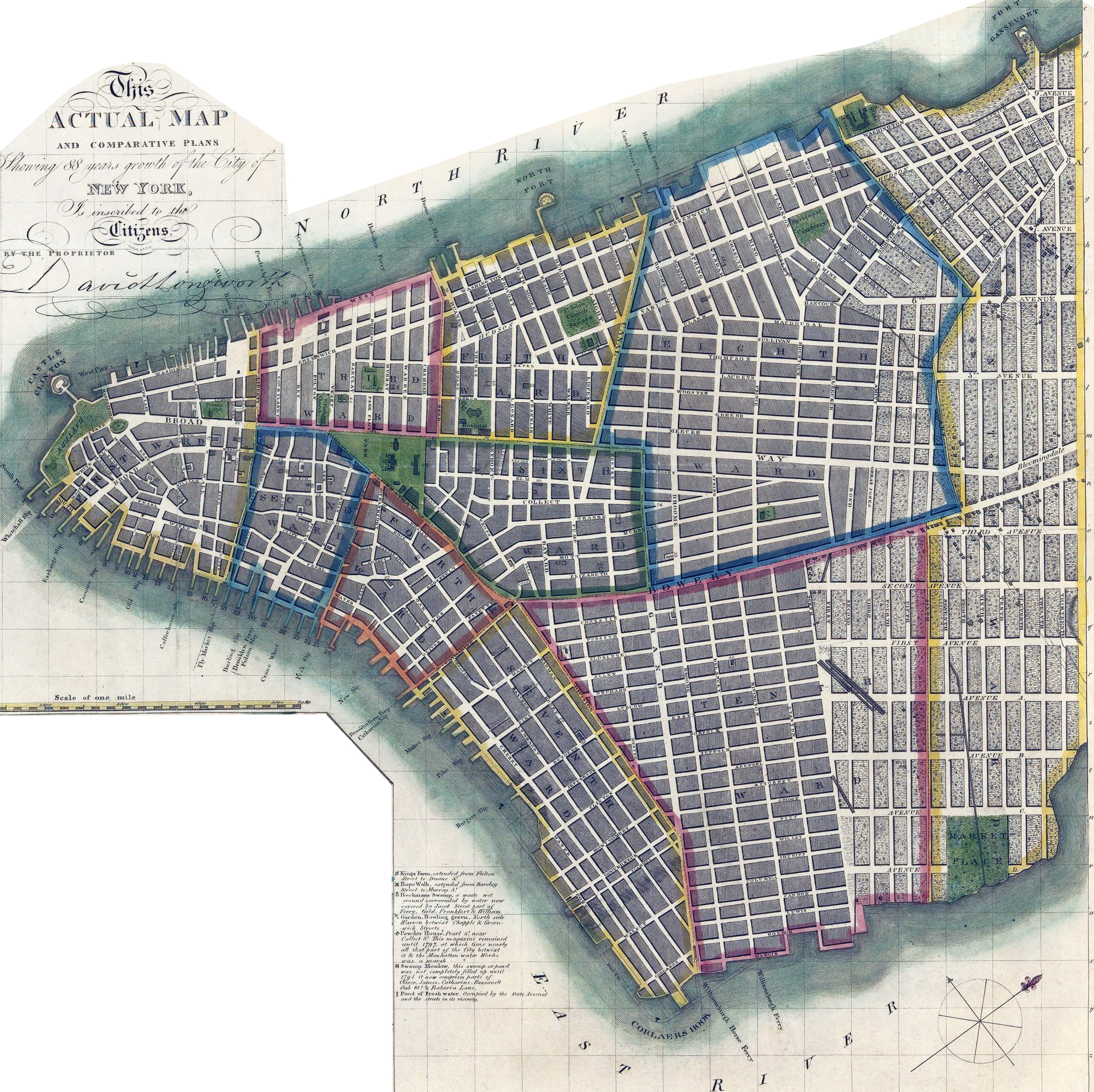
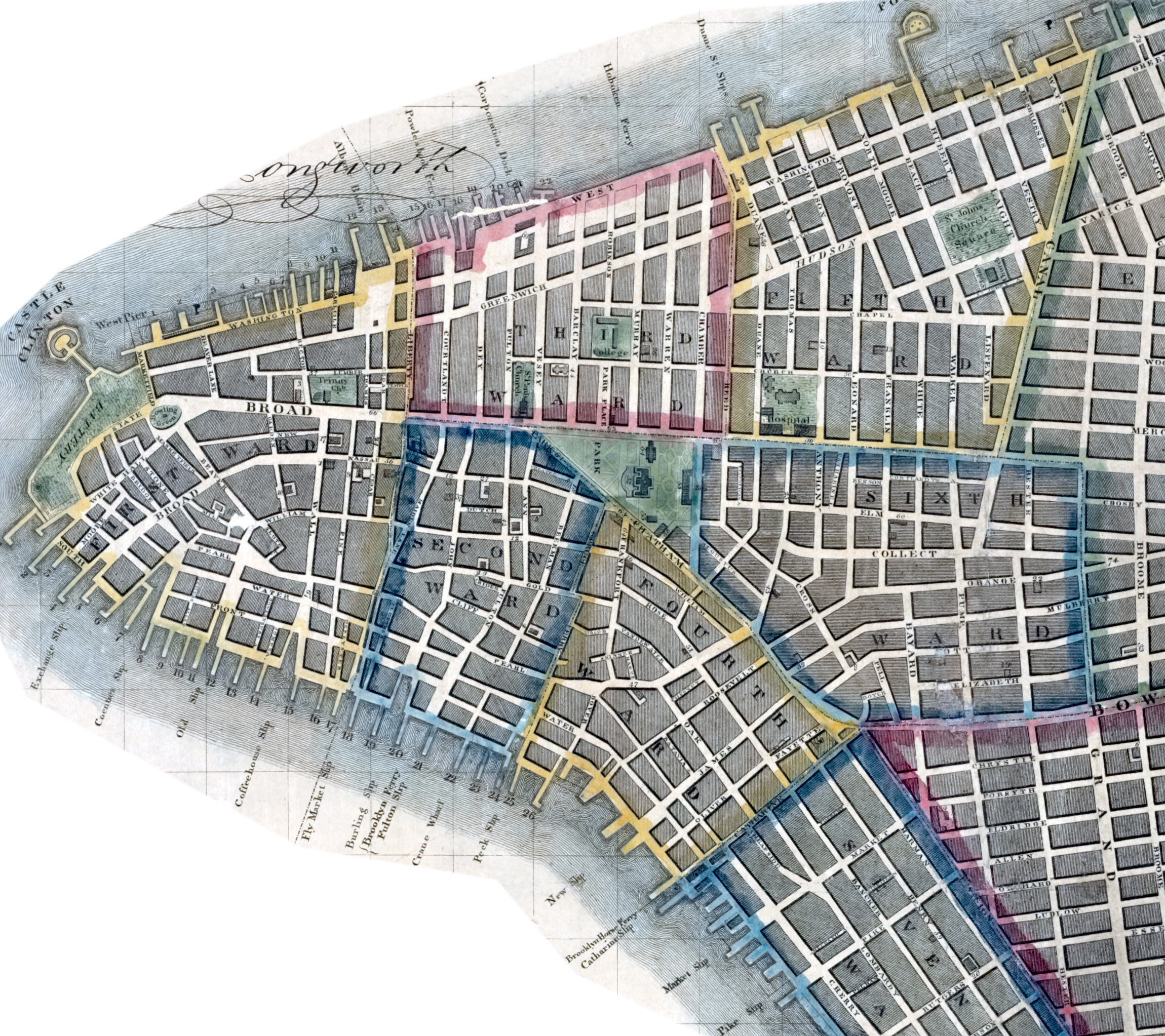
This historic map shows wards, ferry piers, places of interest and much more. It shows both the built environment of Lower Manhattan as well as the proposed street structure slightly higher up the island, where farmland was still giving way to urbanization. The map includes keys to churches, public buildings, streets, and street and neighborhood name changes. It also shows streams that were buried underground or otherwise modified, soon after the map's publication.
David Longworth (ca. 1765–1821) published the first number of Longworth’s American Almanack in 1796, a New York City directory that appeared annually thereafter and became the staple of his business, which also included the sale of books and prints at an establishment he came to denote the Shakespeare Gallery, "No. 11 Park" (Park Row), five doors south of the theatre. In 1800, Longworth and Wheeler advertised an exhibition of prints at the gallery.
In 1807, the City paid David Longworth for city maps.

The City of New York: Longworth's Explanatory Map and Plan. Hand-colored engraving by New Yorker James DeForest Stout (1783–1868). Printer: Daniel Fanshawe. Published by David Longworth (11 Park), copyrighted September 1, 1817. In December, the Common Council purchased 50 copies of the map.
Text on print: This actual map and comparative plans, showing 88 years growth of the City of New York, is inscribed to the Citizens by the proprietor David Longworth. Source: Metropolitan Museum of Art. Inset: Plan of New York in 1729, surveyed by James Lyne.
Enlargement below. More: Maps of NYC - 19th Century ►


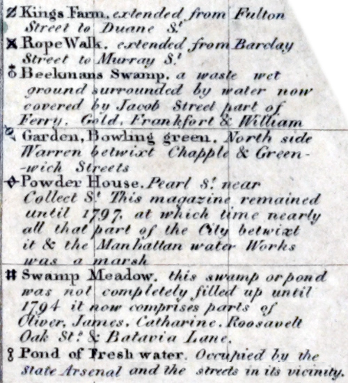
Enlargement of the references above.


Map of City of New York - 1817
|
Copyright © Geographic Guide - Maps of 19th Century NYC. |