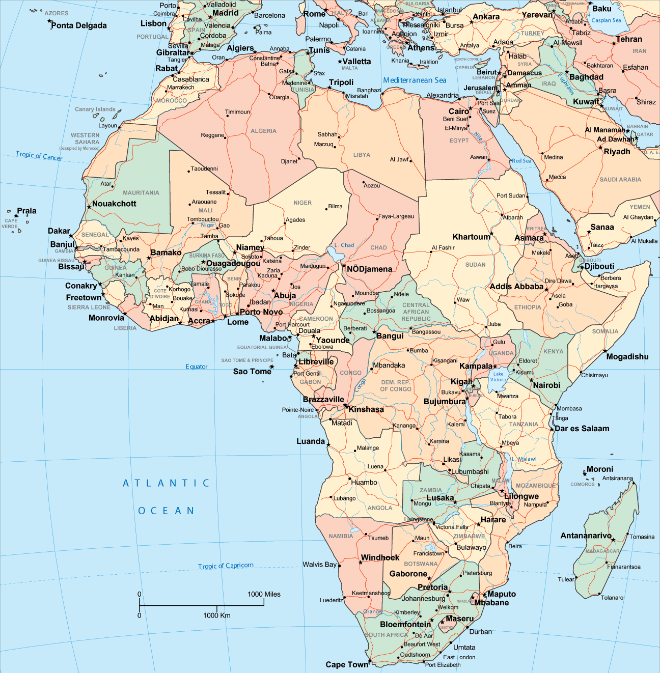
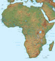
Map of Africa
Africa is the second largest continent surrounded by the Mediterranean Sea, to the north, the Isthmus of Suez and the Red Sea to the northeast, the Indian Ocean to the southeast and the Atlantic Ocean to the west.
Most of the continent lies within the tropics. The climate of Africa ranges from tropical to subarctic on its highest peaks.
Africa is considered to be the oldest inhabited continent by the human species.
◄ Africa
African countries: Algeria, Angola, Benin, Botswana, Burkina Faso, Burundi, Cameroon, Cape Verde, Central African Republic, Chad, Comoros, Congo (Brazzaville), Congo (Democratic Republic), Côte d'Ivoire, Djibouti, Equatorial Guinea, Egypt, Eritrea, Ethiopia, Gabon, Gambia, Ghana, Guinea, Guinea-Bissau, Kenya, Lesotho, Liberia, Libya, Madagascar, Malawi, Mali, Mauritania, Mauritius, Morocco, Mozambique, Namibia, Niger, Nigeria, Rwanda, Sao Tome and Principe, Senegal, Sierra Leone, Somalia, South Africa, South Sudan, Sudan, Swaziland, Tanzania, Togo, Tunisia, Uganda, Western Sahara, Zambia and Zimbabwe.
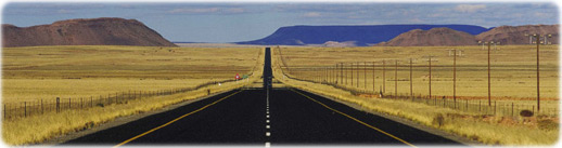
The road to Pofadder, Northern Cape (Photo by Lanz von Hörsten. Copyright South African Tourism).

|
Copyright © Geographic Guide - Travel African Continent. |
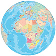
Map of Africa