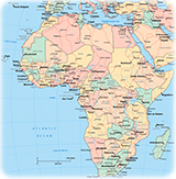
Map of Burundi
Burundi is a country in eastern Africa, bounded on the north by Rwanda, on the east and south by Tanzania, and on the west by Lake Tanganyika and the Democratic Republic of the Congo. Formerly ruled by tribal monarchies, the area that is now Burundi was colonized by Germany in the late 19th century and under German and then Belgian administration until its independence in 1962. Bujumbura is the capital and largest city.
◄ Africa

Map base: United Nations (edited).
|
Copyright © Geographic Guide - Travel, African Continent. |
