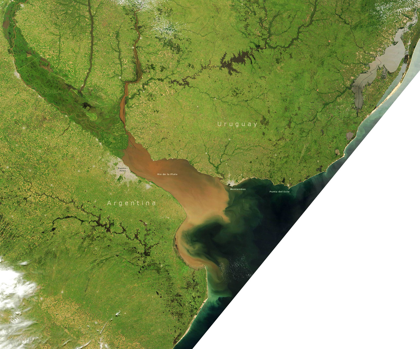
Rio de la Plata - Satellite Image
This true-color image shows part of Argentina, Uruguay and Rio de la Plata. The estuary of the Rio de la Plata is one of the largest in the world. It receives runoff from five South American countries (Argentina, Uruguay, Brazil, Paraguay, and Bolivia). The extensive sediment plume (muddy looking water) in the Rio de la Plata seems to be a normal condition of the river. There is a constant mixing zone where the sediment-laden fresh water meets the salty waters of the southern Atlantic Ocean. At the mouth of the Rio de la Plata (south side) a gray patch indicates the location of Buenos Aires (NASA - December, 2002).
Rio de la Plata

|
Copyright © Geographic Guide - Travel American Continent. |
Rio de la Plata - Satellite Image