
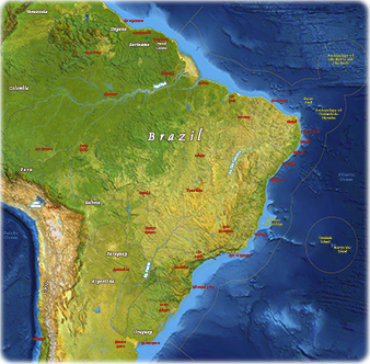
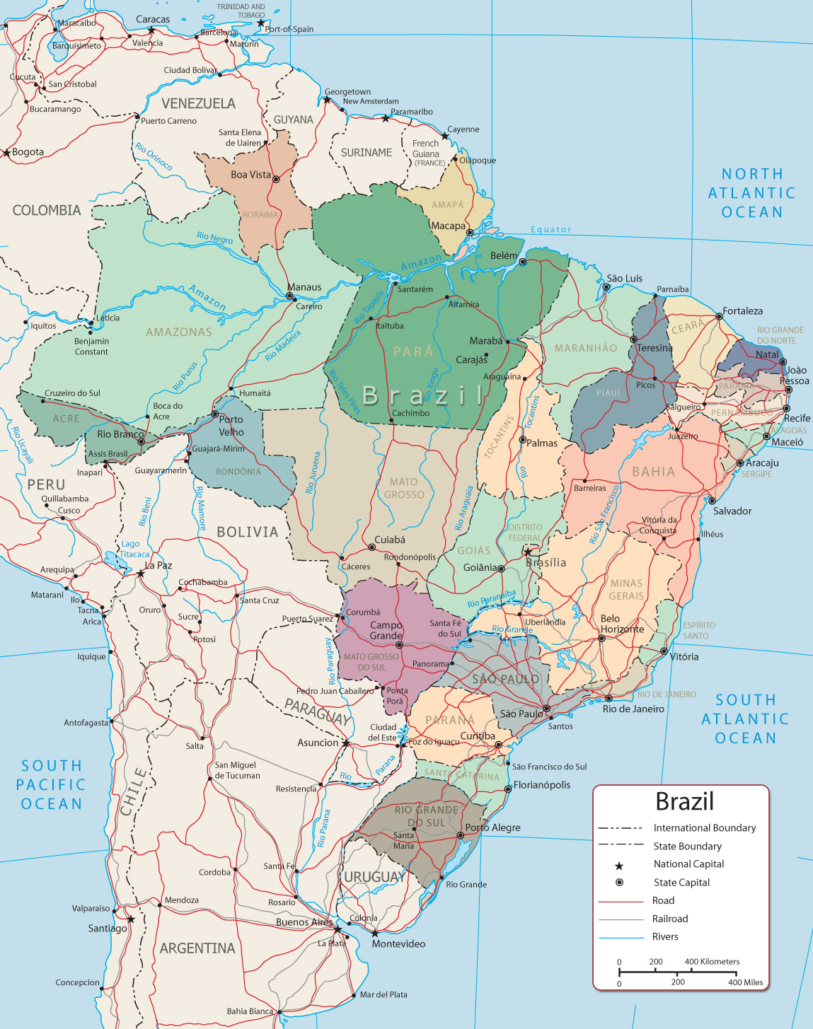
Map of Brazil
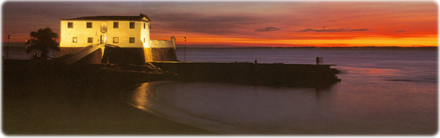
Forte de Santa Maria in Porto da Barra, one of the best beaches in the world, according to CNN.
Salvador is one of the oldest cities in America.
Brazil is the largest country in South America. Its largest city is São Paulo, the capital is Brasília and the cultural heart is Bahia. Brazil’s large size and diverse population provide great variety in the natural environment, economy and culture.
Brazil has borders with ten countries: Argentina 1,263 km; Bolivia 3,403 km; Colombia 1,790 km; French Guiana 649 km; Guyana 1,308 km; Paraguay 1,371 km; Peru 2,659 km; Suriname 515 km; Uruguay 1,050 km; Venezuela 2,137 km
More in Brazil
|
Copyright © Geographic Guide - Travel and Geography of South America. |
The islands of Trinidade, Martin Vaz, Arquipélago de Fernando de Noronha, Atol das Rocas, and Penedos de São Pedro a São Paulo are not shown.
Trinidade and Martin Vaz are administered by Espirito Santo. The arquipelago de Fernando de Noronha, by Pernambuco.

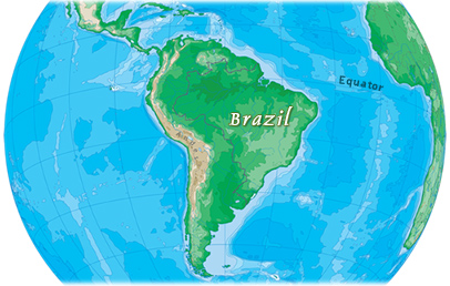
Map of Brazil
Osmar G. Studio