Images of Peru
Place of the pre-Columbian Inca ruins.
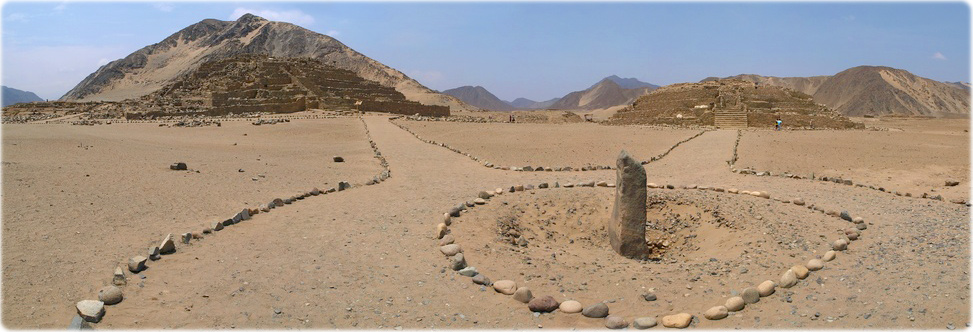
Ruins of the sacred city of Caral-Supe, Peru. The oldest centre of civilization in the Americas (5000-year-old) has six large pyramidal structures.
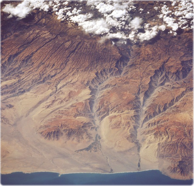
Yauca and Acari River Canyons, Peru May 1996. The dry, canyonlike terrain of the Peruvian coast is visible in this northeast-looking, low-oblique photograph. Clouds cover the western Andes Mountains, the longest mountain system in the world, which began to form 600 million years ago. Uplifted coastal plains deeply grooved the coastal areas, sculpturing deep canyons, some of which extend to the coast. A slow uplift continues to build the Andes, which are rising approximately 10 cm each century. Visible are many small canyons and two major ones—the Acari River Canyon (center of photograph) and the Yauca River Canyon to its south. Some irrigation is discernible in both river valleys and near the coast where the rivers empty into the Pacific Ocean. Point Chala appears at the bottom right of the photograph.
Lake Titicaca and coast of Peru (left). Titicaca, the largest freshwater lake in South America, is located in a depression in the Altiplano (high plains) between the eastern and the western range of the Andes Mountains. Lake Titicaca covers an area of 8300 km², is nearly 190 km long, and has an average width of 72 km. Fed by many mountain streams that border the Altiplano, the lake is drained only by the Desaguadero River, which flows south into Lake Poopó. Water levels can vary as much as 16 feet (5m) from season to season and year to year. Much of the lake water is lost through evaporation caused by intense sunshine and strong winds. Since the late 1980s, drought has plagued this region of the Altiplano, causing water levels in the lake to drop below normal. Drastic drops in water level in the lake could eventually affect the moderating climate of this high-altitude lake 3800 meters above sea level, which could lead to reduced agricultural crop yields. The agricultural crops of wheat and maize help sustain many Indians that live along Lake Titicaca’s shores (by NASA).
Canyon of Yauca river
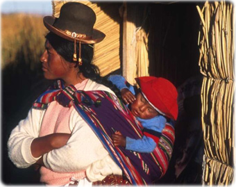
Peruvian mother and child at a small village in Lake Titicaca.


Puerto de Lomas
|
Copyright © Geographic Guide - Travel American Continent. |

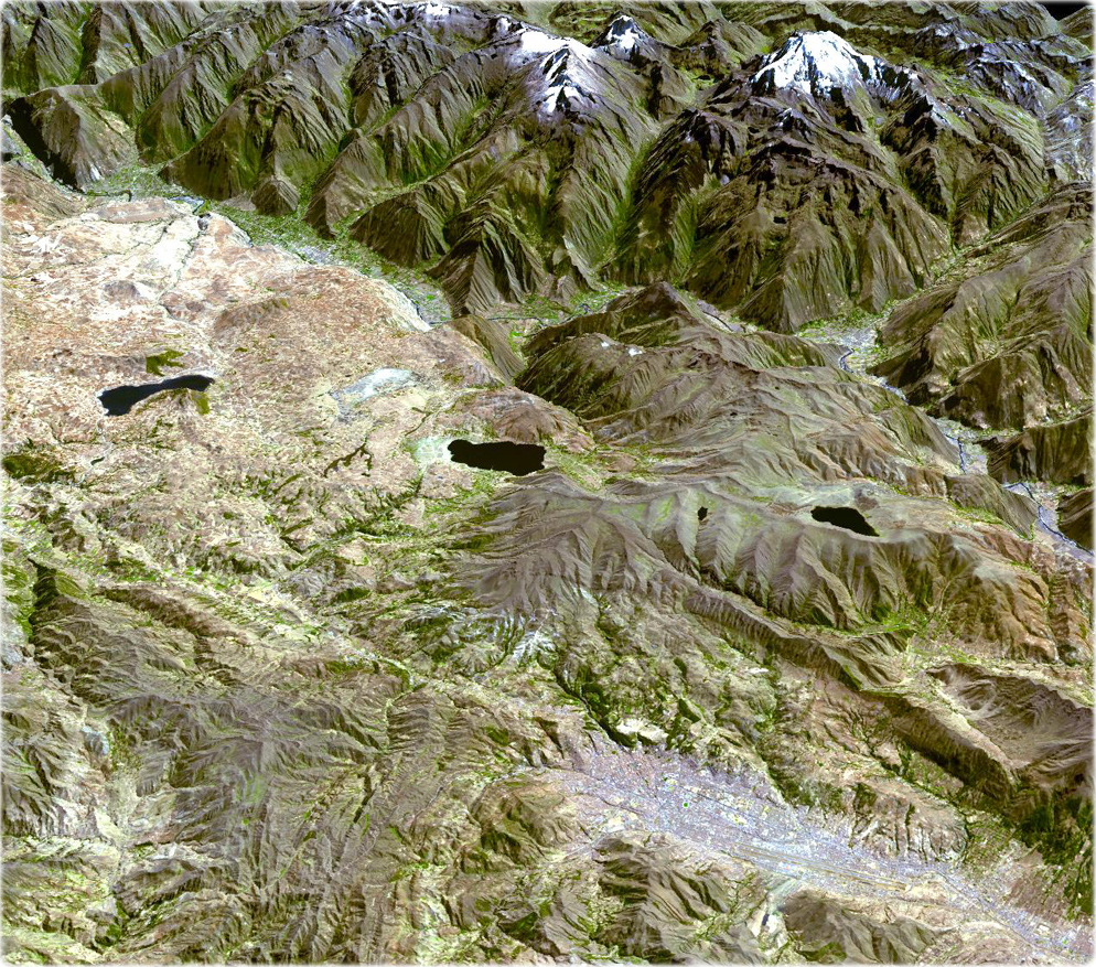
Cuzco, ASTER perspective view acquired on July 18, 2006. This image is centered near 13.5 degrees south latitude, 72 degrees west longitude.
Cuzco is a city of over 1,000,000 situated in the Peruvian Andes at an altitude of 3500 m, near the Urubamba Valley. Founded in the 11th century, Cuzco was a divine place, the center of the Inca Empire, and the center of the world. Cuzco developed, under the Inca ruler Pachacutec, into a complex urban center with distinct religious and administrative functions. It was surrounded by clearly delineated areas for agricultural, artisan and industrial production. When the Spaniards conquered it in the 16th century, they preserved the basic structure but built Baroque churches and palaces over the ruins of the Inca city. In 1983, Cuzco was inscribed as a UNESCO World Heritage Site.
Canyon of Acari river

Pacific Ocean
Chala
Images of Peru
Peruviano - Fotolia.com