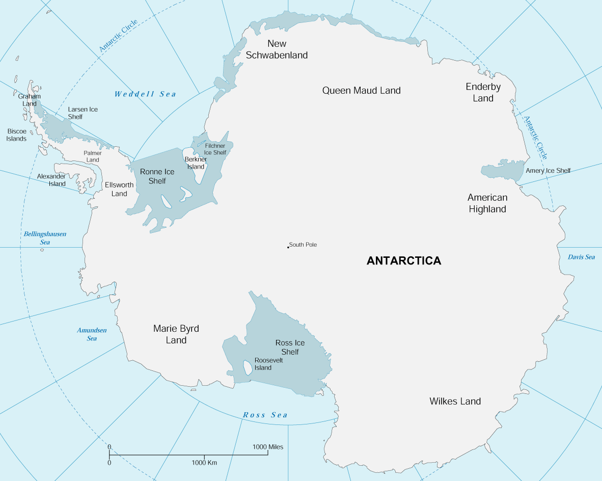
Map of Antarctica
Antarctica is the southernmost and fifth largest continent of the Planet. It contains the geographic South Pole and its landmass is almost wholly covered by an ice sheet. It is surrounded by the Southern Ocean and it is the coldest of Earth's continents.
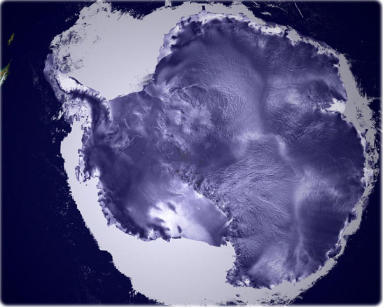
An ICESat image reveals the textured surfaces of Antarctic ice sheets in amazing detail. The high flat area in the center of the continent is called the East Antarctic Plateau; the white area surrounding the continent is sea ice. Image completed 23 May 2003, courtesy of NASA/Goddard Space Flight Center Scientific Visualization Studio, Canadian Space Agency, RADARSAT International Inc.
|
Copyright © Geographic Guide - Continents of Planet Earth. |
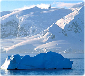
Iceberg, Antarctic Peninsula.
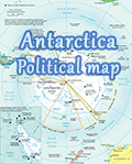

Map of Antarctica