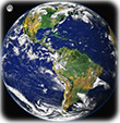
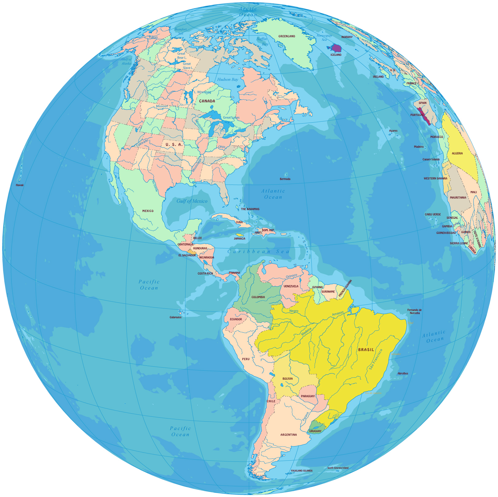
America in the Globe


Political map of the American Continent in the globe (on the right, click to enlarge). 
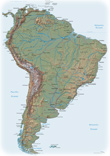
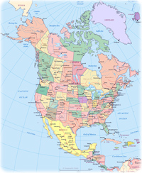
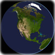
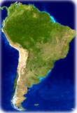
America is a continent divided into four parts: North America, Central America, South America and the Antilles (Latin America does not exist).

The name AMERICA was originally given in 1507 by German cartographer Martin Waldseemüller. The name was placed, for the first time, in the Portuguese lands of the New World, later known as Brazil.

The American continent has 35 countries and 18 territories. America divided into four parts: North America (Canada, United States, Mexico), Central America (Belize, Costa Rica, El Salvador, Guatemala, Honduras, Nicaragua, Panama, Antilles, such as Antigua and Barbuda, Barbados, Cuba, Jamaica, Dominican Republic, etc.) and South America (Argentina, Bolivia, Brazil, Chile, Colombia, Ecuador, Guyana, Paraguay, Peru, Suriname, Uruguay and Venezuela). Latin America does not exist.


american-continent-globe


South America


North America map


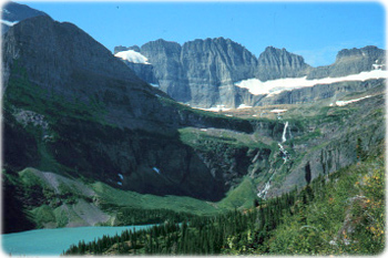
Grinnell Lake, Glacier National Park - Montana (photo U.S. Geological Survey).


Maps America


Image North America


Historical maps NYC


Grinnell Lake


Maps


Physical Map USA


South America Image


America in the Globe


America


South America map


Travel


Copyright © Geographic Guide - Travel and Maps. Geography American Continent.


Globes