Image of North America
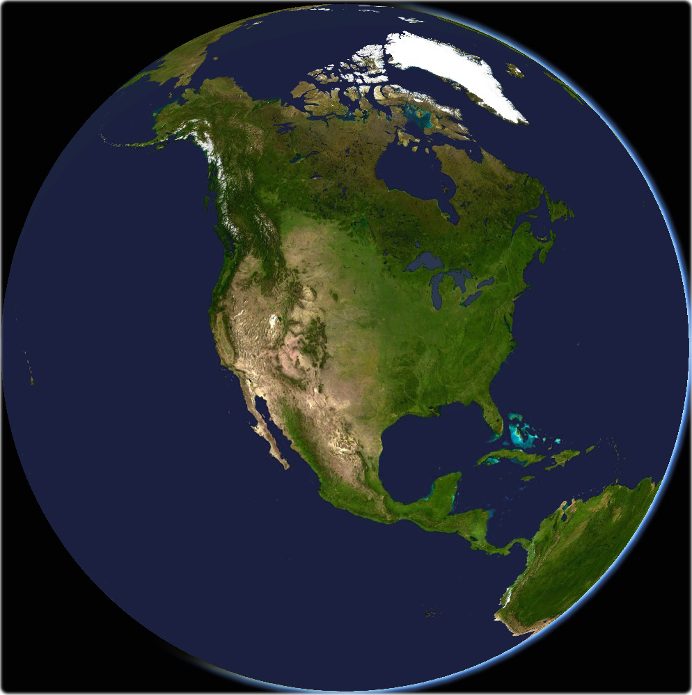
True-color image of North America (NASA - U.S. Geological Survey). More Images of North America ►
Russia
Mexico
Oct. 30, 2012 - Hurricane Sandy slams into the Northeastern states (orthographic projection from NASA’s Suomi NPP satellite).
The Golden Gate bridge, San Francisco.
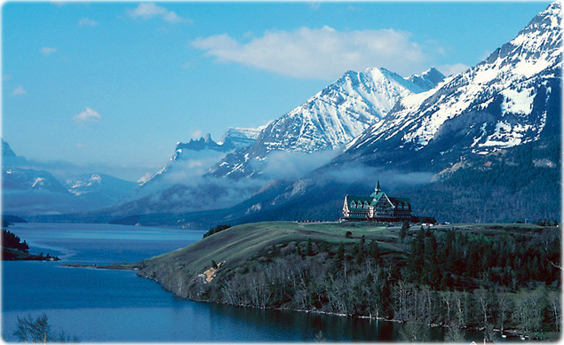
Resort along a lakeside mountain, Rockies, Waterton, Canada.
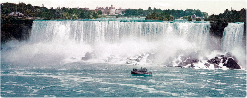
Niagara Falls, at the border between Canada (province of Ontario) and United States (state of New York). Vintage photograph about 1900 (U.S.A.), by Detroit Publishing Company. Source: Library of Congress Prints and Photographs Division.

Brasil

Venezuela
|
Copyright © Geographic Guide - Travel the Globe. Images of the Planet Earth. |
Greenland
Cuba
United States of America
Pacific Ocean
Canada

The Bahamas

North Atlantic Ocean
Galapagos
Gulf of Mexico
Halifax
|
◄ Maps |

Phil Coblentz