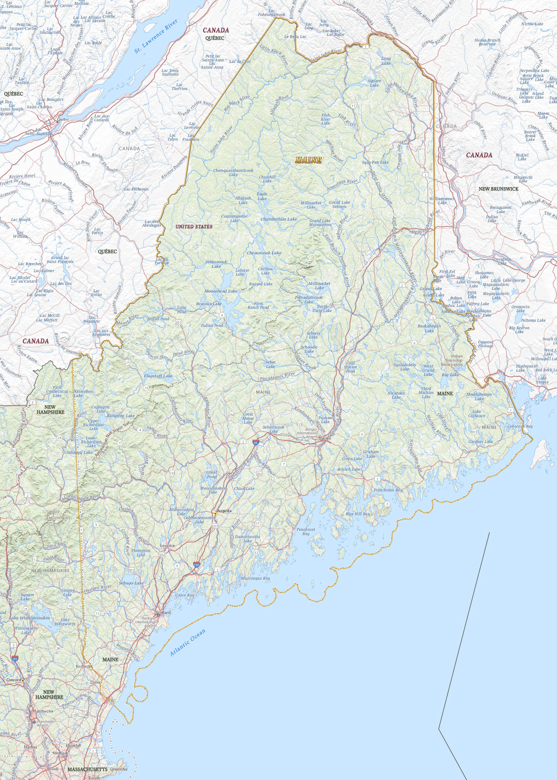
Map of Maine
Maine is a state in northern United States. It entered the Union in 1820, separated from Massachusetts. The capital is Augusta and the largest city is Portland. Maine is bordered by the Canadian provinces of Québec and New Brunswick. The state of New Hampshire is to the southwest.

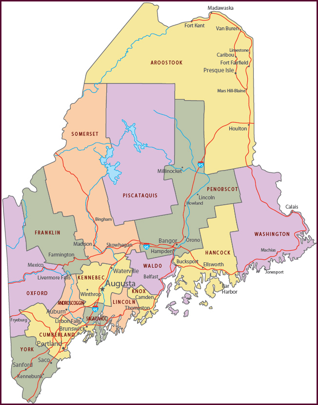
Political Map of Maine
◄ Maine


Bass Harbor Head Lighthouse, in Acadia National Park, Tremont, Maine.

|
Copyright © Geographic Guide - Travel American Continent. |
Source (edited): USGS National Map.
Map of Maine
