Maps of the United States of America
The United States of America is a federal republic consisting of 50 states, a federal district (Washington, District of Columbia, the national capital), five major territories, and several minor islands.
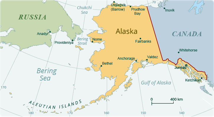
The U.S.A. is located on the northern part of the American continent. It is the world's third largest country in size. The country borders Canada (8,864 km / 5,508 mi), to the north, and Mexico 3,327 km / 2,067 mi), to the south. There are 19,920 km (12,380 mi) of coastline. The highest point is on Mount Denali (6,190.5 m / 20,310 ft), in Alaska, and the lowest point is in Badwater Basin (−85 m / −279 ft), California.
More: Historical maps of U.S. ►


Maps of The U.S. States

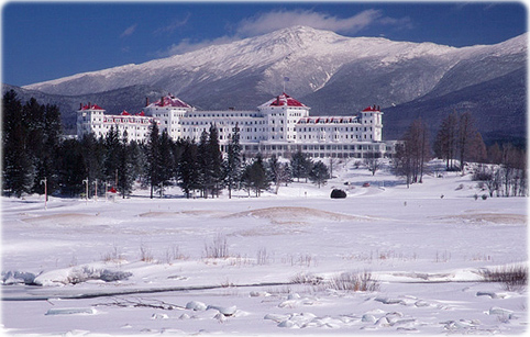
Mount Washington Hotel in Bretton Woods, New Hampshire. The hotel opened in 1902. It housed the United Nations Monetary and Financial Conference, in 1944, intended to regulate the international monetary and financial order. In 1986, it was declared a National Historic Landmark.
|
Copyright © Geographic Guide - Travel USA. American Continent Maps. |

Maps of the United States of America