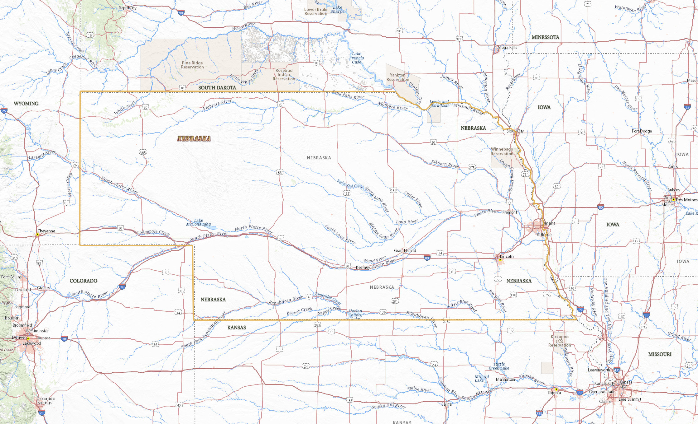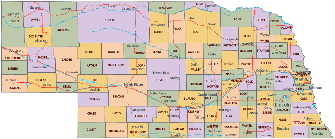
Map of Nebraska
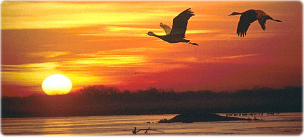
Sandhill cranes flying above Platte River, Nebraska.
The state of Nebraska, in the center of the country, entered the Union in 1867. The Central Lowland and the Great Plains dominates de physiography of the state. The capital is Lincoln and Omaha is the largest city. It is bordered by the states of South Dakota, Kansas, Iowa, Missouri, Wyoming and Colorado.

Political Map of Nebraska


|
Copyright © Geographic Guide - Travel United States of America. |
Source (edited): USGS National Map.
Map of Nebraska
