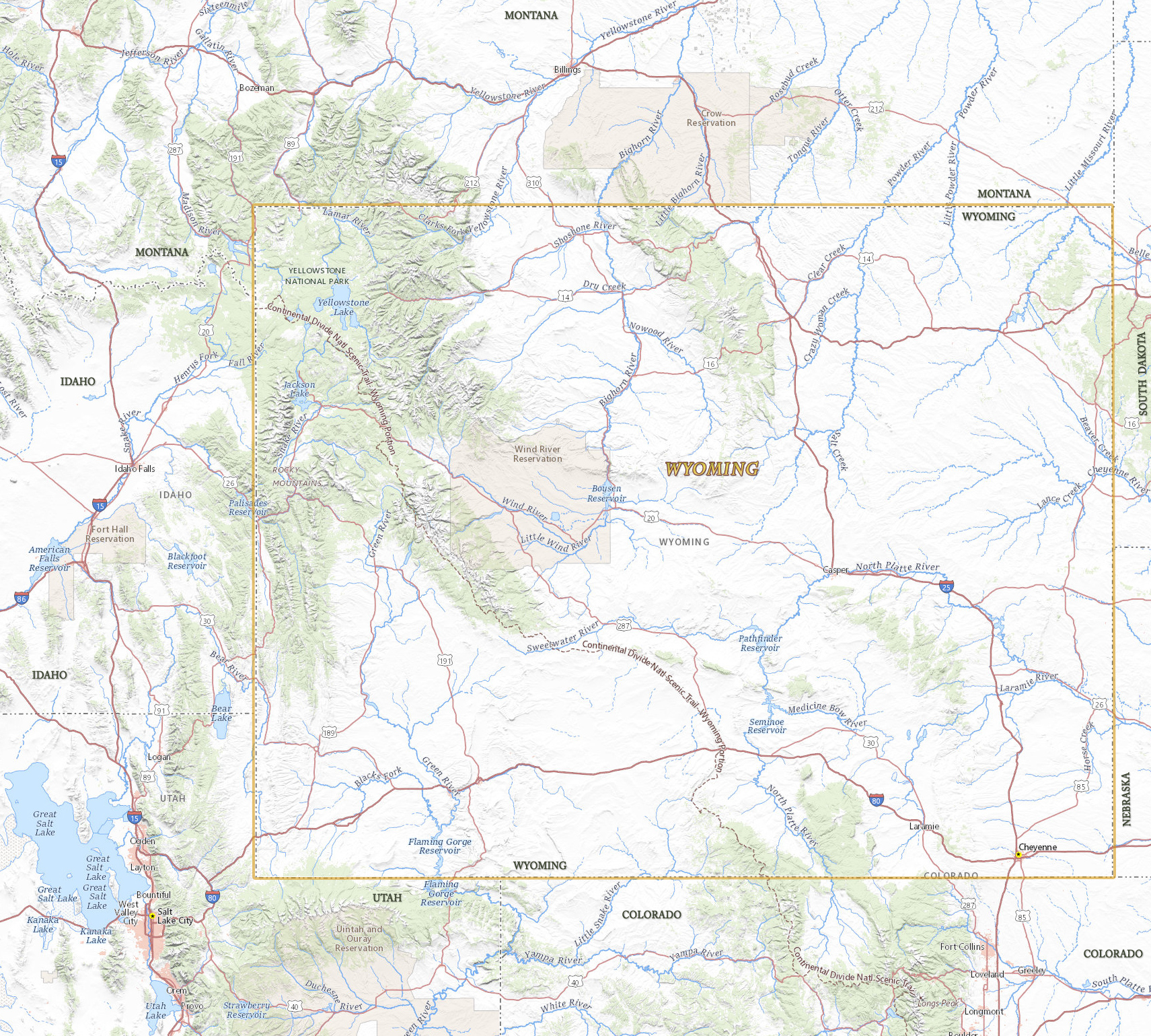
Map of Wyoming

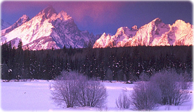
Winter landscape in the Grand Teton National Park, Wyoming.

Wyoming is a landlocked U.S. state in the western of the country. It became a territory, in 1868, and entered the Union in 1890. The capital and largest city is Cheyenne. It is bordered by the states of Montana, South Dakota, Nebraska, Colorado, Utah and Idaho.
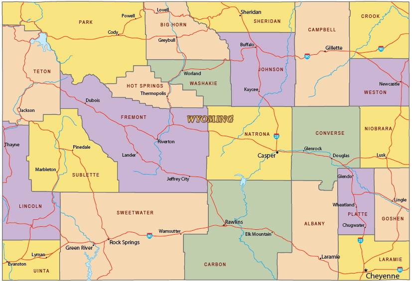
Political Map of Wyoming


|
Copyright © Geographic Guide - Travel United States of America. |
Source (edited): USGS National Map.
