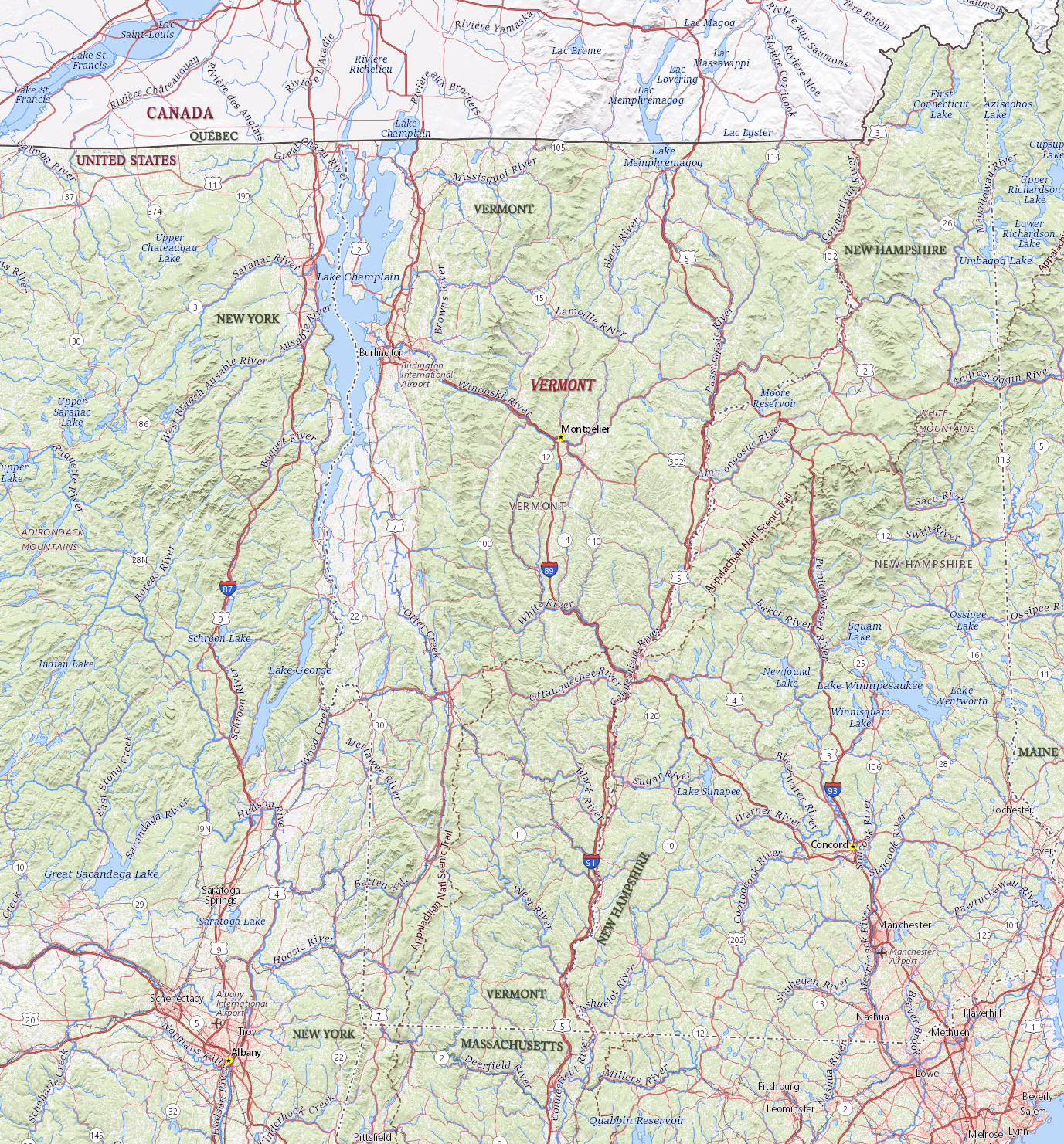
Map of Vermont
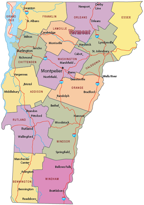
Vermont is one of the New England states in northeastern United States. The capital is Montpelier and Burlington is the largest city. Vermont is bordered by the state of New York, the Canadian province of Québec, by the state of New Hampshire and by Massachusetts.

Political Map of Vermont


|
Copyright © Geographic Guide - Travel United States of America. |
Source (edited): USGS National Map.