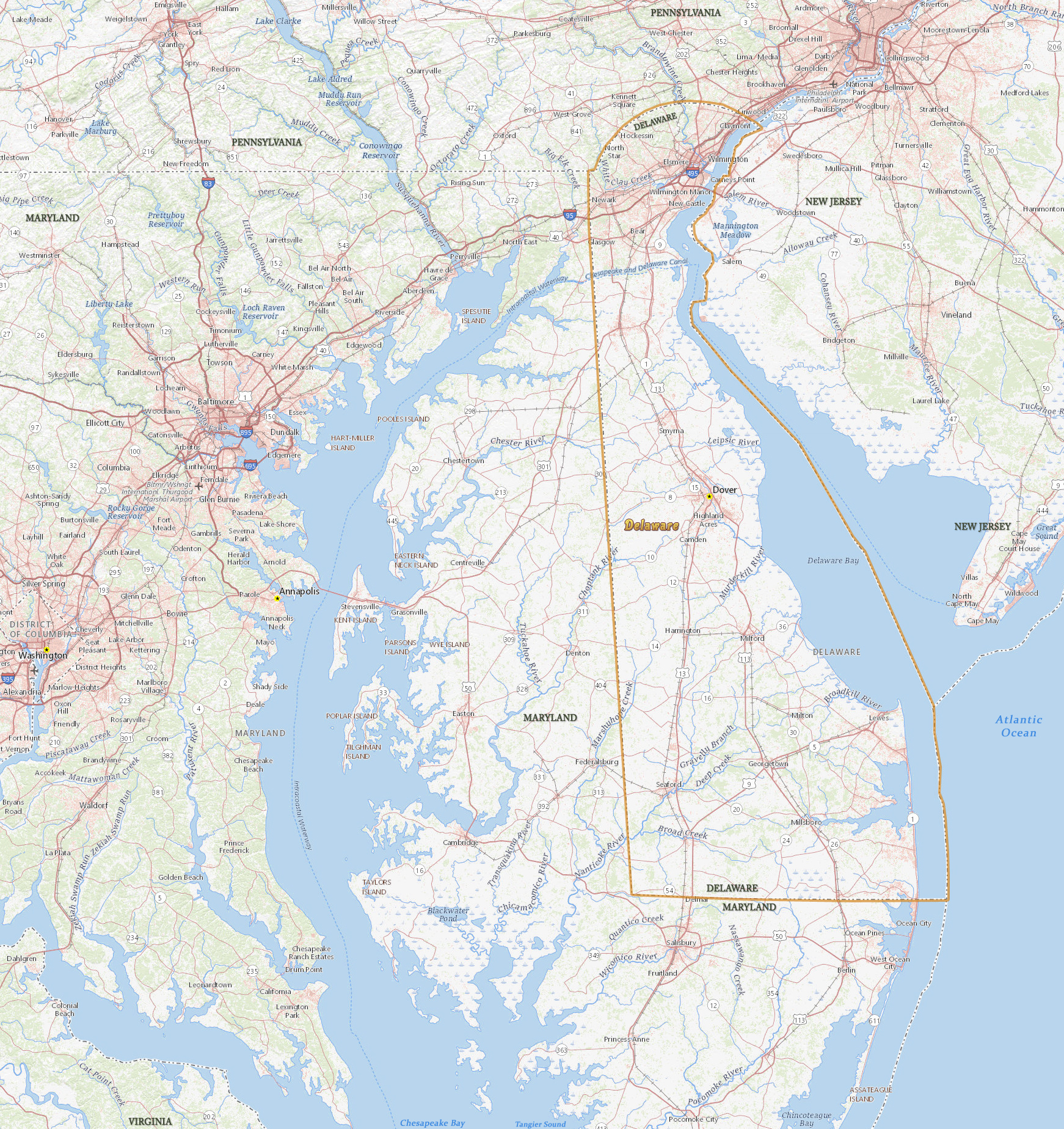
Map of Delaware

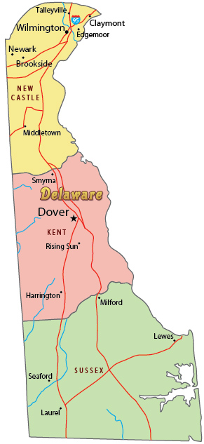
The state of Delaware the second smallest state of the Union, with 6,446 km² of total area. More than 2/3 of the population live in New Castle County. The capital is Dover in Kent County. Delaware is bordered by the states of Maryland, Pennsylvania and New Jersey.
Political Map of Delaware

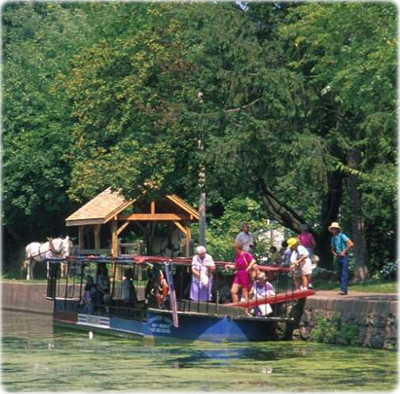
Mule drawn barge, Delaware Canal.


|
Copyright © Geographic Guide - Travel, United States of America. |
Source (edited): USGS National Map.
Map of Delaware