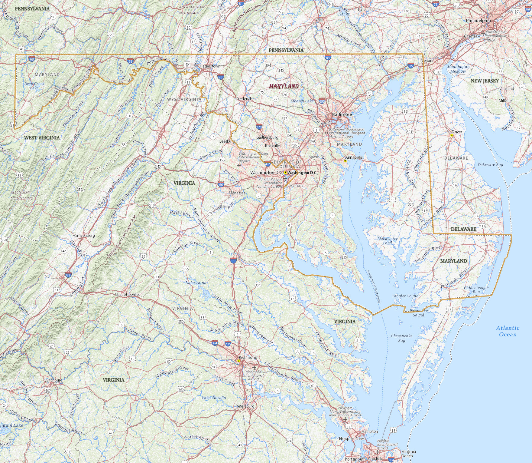
Map of Maryland

Maryland was a colony founded in 1634, named after Queen Henrietta Maria, wife of English King Charles I. It became a state in 1788. The capital is Annapolis and the largest city is Baltimore. Maryland is bordered by the states of Pennsylvania, Delaware, Virginia, West Virginia and the District of Columbia.
Political Map of Maryland


Lighthouse, Chesapeake Bay Museum, MD.

|
Copyright © Geographic Guide - Travel American Continent. |
Source (edited): USGS National Map.
Map of Maryland
