
Map of North Carolina
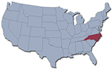
North Carolina was one of the original 13 states and joined the Union in 1789. Mount Mitchell in the Black Mountains (2,037 m) is the highest point. The capital is Raleigh and Charlotte is the largest city. North Carolina is bordered by the states of Virginia, Tennessee, South Carolina and Georgia. The Atlantic Ocean is to the east.
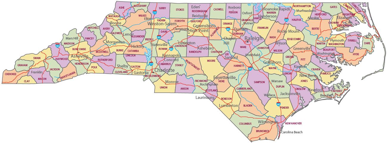
Political Map of North Carolina
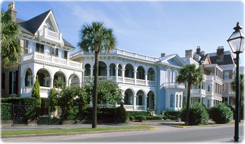
Houses in Charlotte, the largest city of North Carolina.


|
Copyright © Geographic Guide - Travel United States of America. |
Source (edited): USGS National Map.
Map of North Carolina