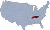
Map of Tennessee
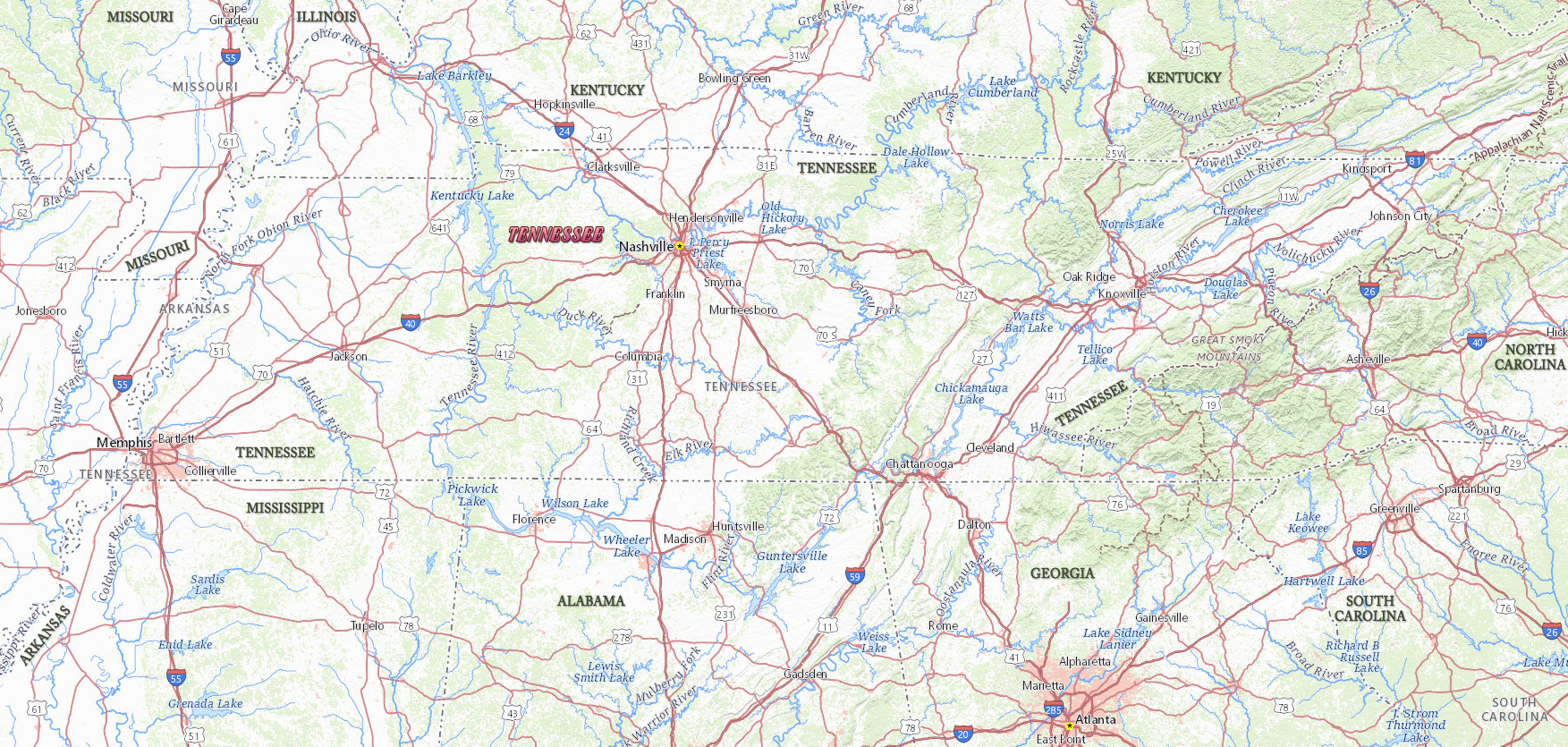
Tennessee is a U.S. state in the East South Central region. The Ridge and Valley Province, containing the Great Valley of Tennessee, stretches westward from the Blue Ridge for 90 km. Nashville is the capital and largest metropolitan area. Memphis is the largest city. Tennessee is bordered by the states of Kentucky, Virginia, North Carolina, Georgia, Alabama, Mississippi, Arkansas and Missouri.

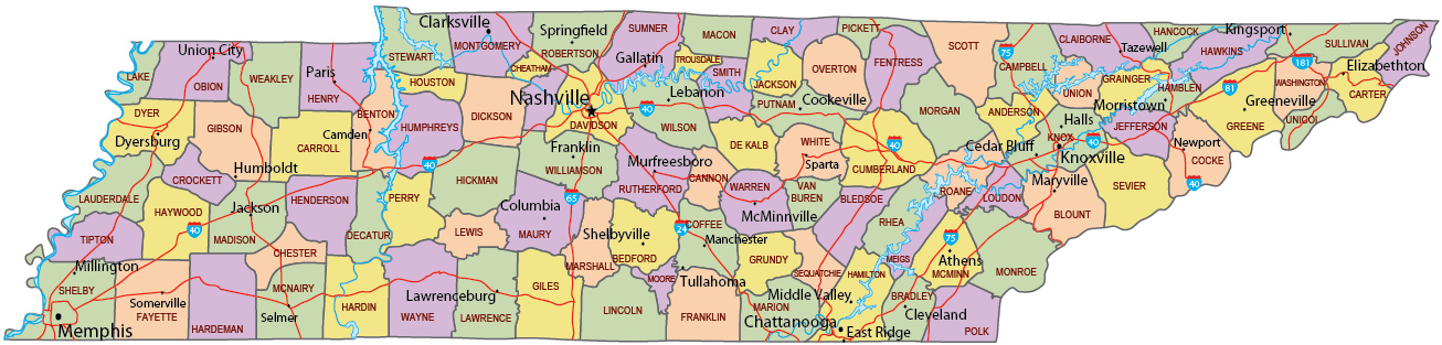
Political Map of Tennessee
Church in Belle Meade, Tennessee.

Map of Tennessee
|
Copyright © Geographic Guide - Travel United States of America. |
Source (edited): USGS National Map.