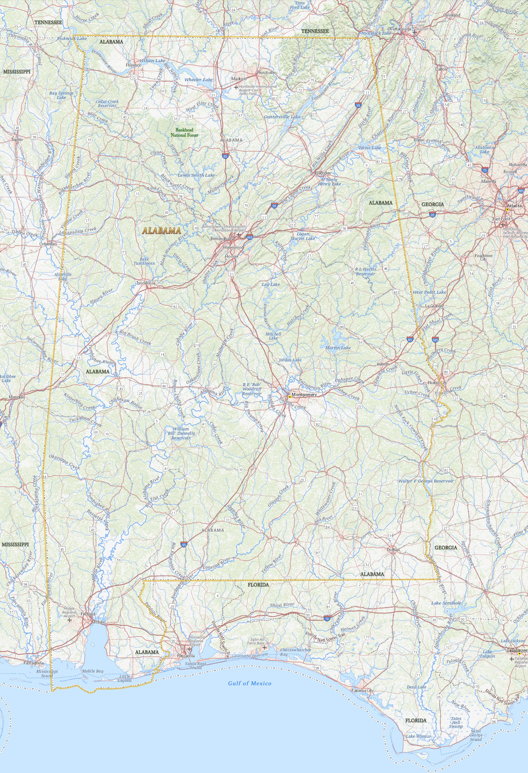
Map of Alabama
Alabama is a U.S. state in the east south central United States, at the southern end of the Appalachian Mountains and on the Gulf of Mexico. Alabama entered the Union in 1819. The capital is Montgomery and the largest city is Birmingham. Alabama is bordered by the states of Tennessee to the north, Georgia to the east, Florida to the south and Mississippi to the west.

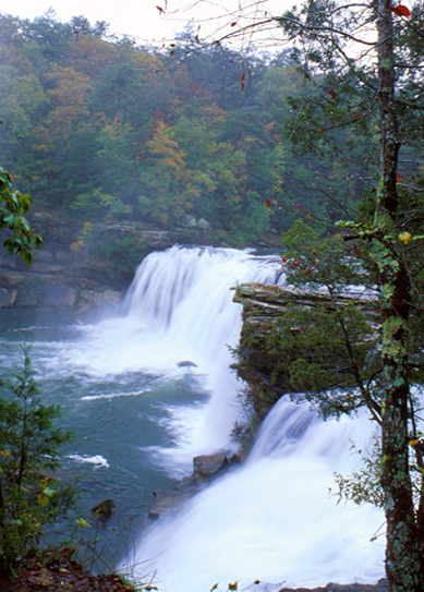
Desoto State Park
◄ Alabama

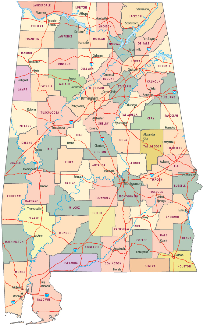
Political Map of Alabama
Desoto State Park, waterfall.


|
Copyright © Geographic Guide - Travel United States of America. |
Source (edited): USGS National Map.

Map of Alabama