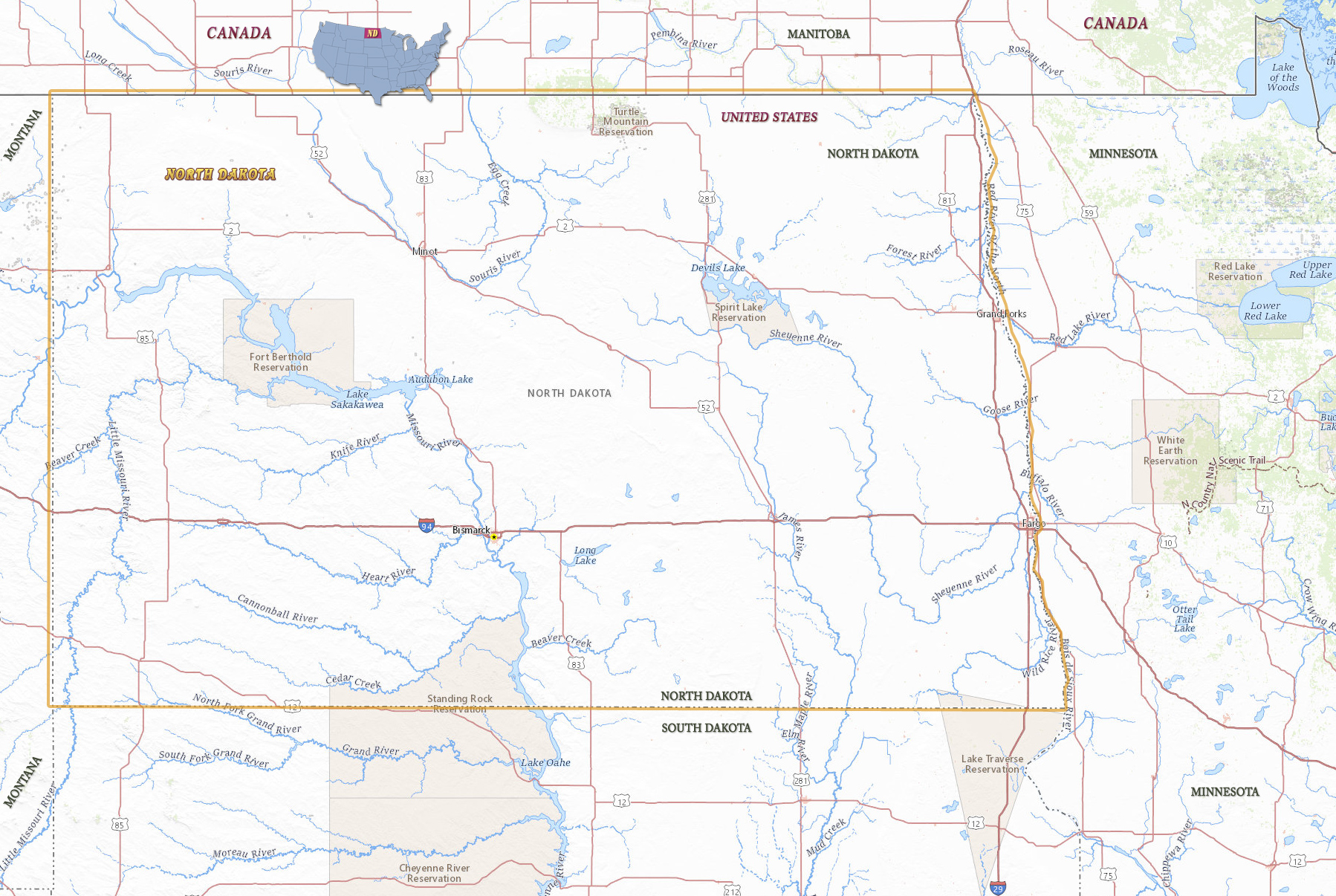
Map of North Dakota

North Dakota is a state in the north of the United States. The territory of Dakota, named for the Dakota people who lived there, was divided into south and north upon admission into the Union in 1889. The capital is Bismarck and Fargo is the largest city. North Dakota is bordered by the states of Minnesota, South Dakota and Montana. Canada is to the north.

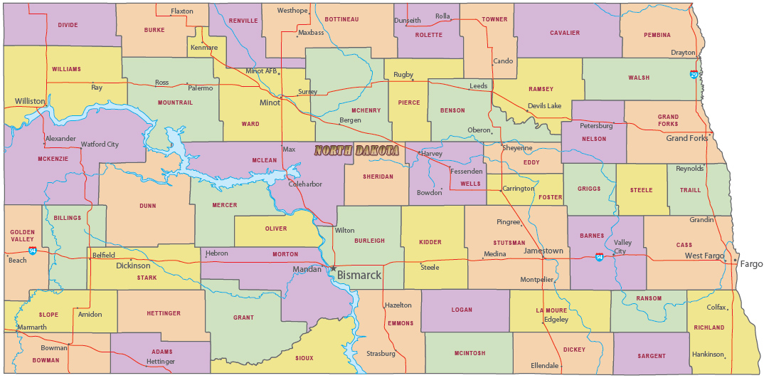
Political Map of North Dakota

The Missouri River at the Roosevelt National Park, in North Dakota.

|
Copyright © Geographic Guide - Travel United States, North America. |
Source (edited): USGS National Map.
Map of North Dakota