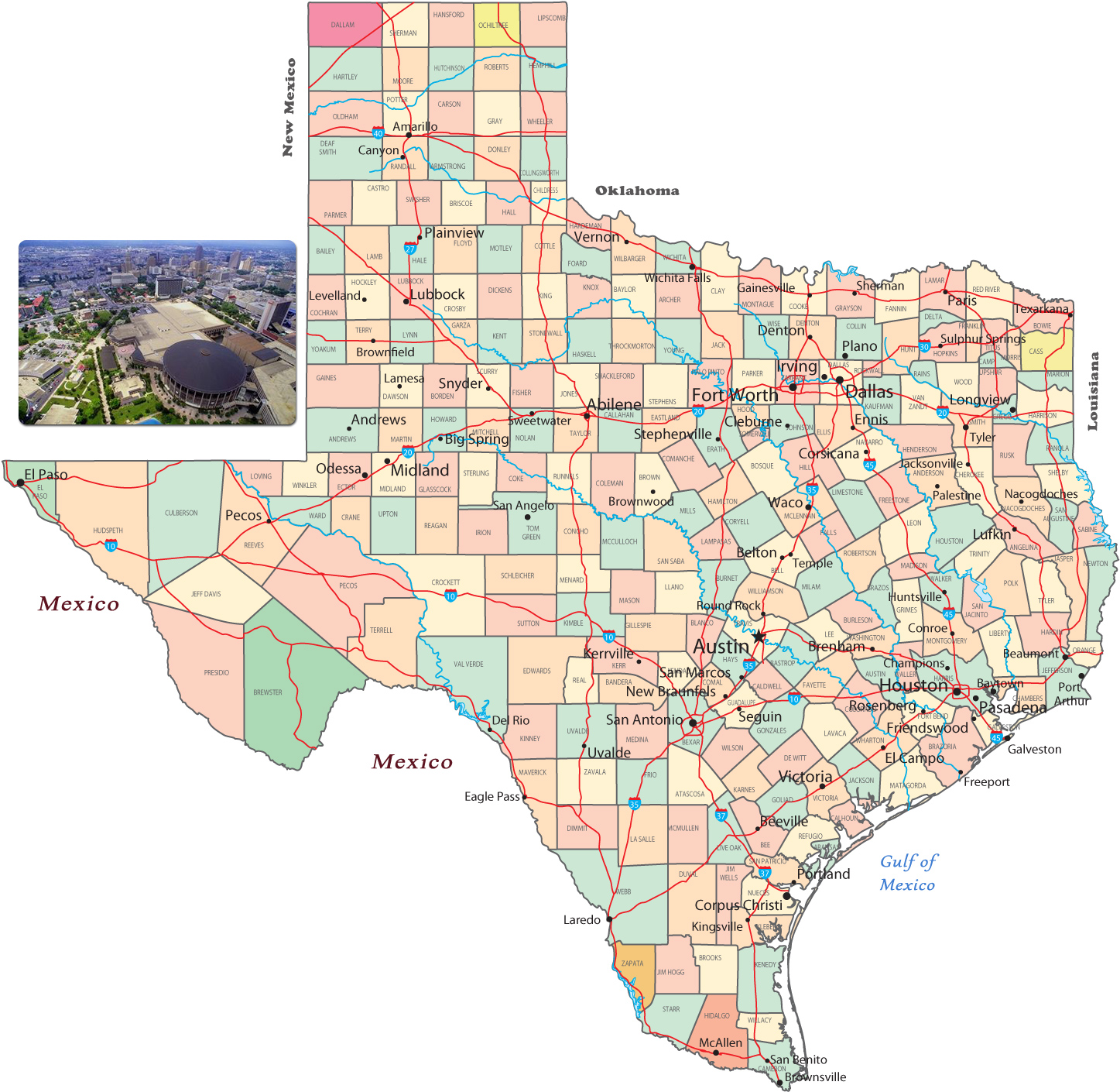
Political Map of Texas
Texas was part of the Spanish Empire in America, until 1821, when Mexico gained independence from Spain. Texas was then part of Mexico. It joined the United States in 1845. Texas shares borders with Mexico and the states of Louisiana, Arkansas, Oklahoma e New Mexico. It has also a coastline with the Gulf of Mexico. The capital is Austin and the largest city is Houston.

|
Copyright © Geographic Guide - Travel, American Continent. |

Partial view of San Antonio, Texas.
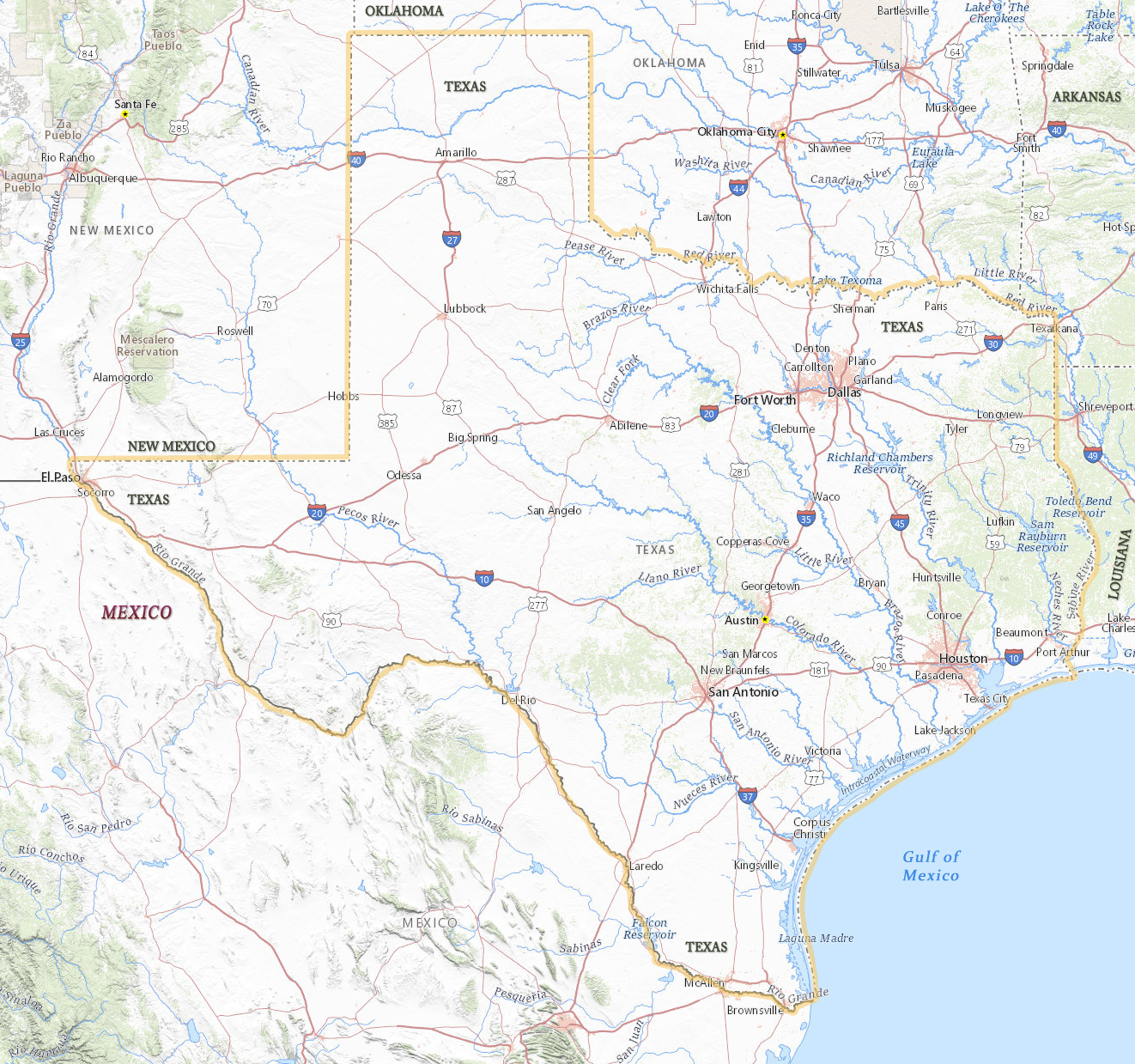
Physical Map of Texas
Physical Map of Texas
Political Map of Texas
Source (edited): USGS National Map.