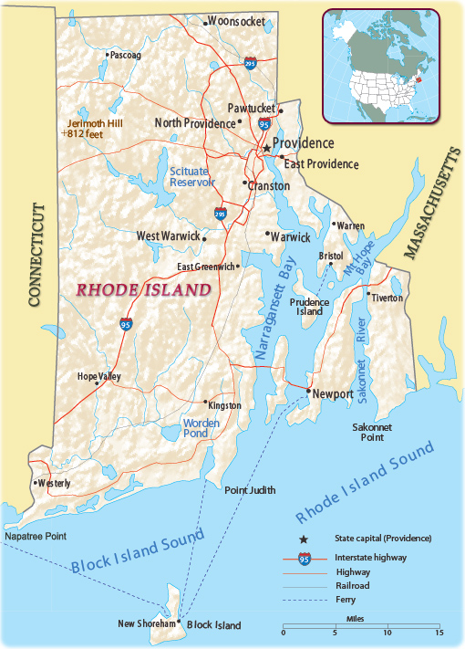
Rhode Island
Rhode Island is one of the six states of New England, in the northeastern United States. It is bordered by Connecticut to the west, Massachusetts to the north and east, and the Atlantic Ocean to the south. It also shares a small maritime border with the state of New York. The name Rhode Island comes from the largest island of Narragansett Bay. It is the smallest state in the country and the second most densely populated after New Jersey. The state capital and largest city is Providence.
In 1776, Rhode Island was the first of the 13 original colonies to declare its independence from Great Britain.

|
Copyright © Geographic Guide - Travel United States, American Continent. |
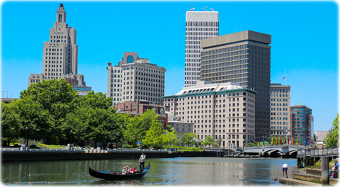
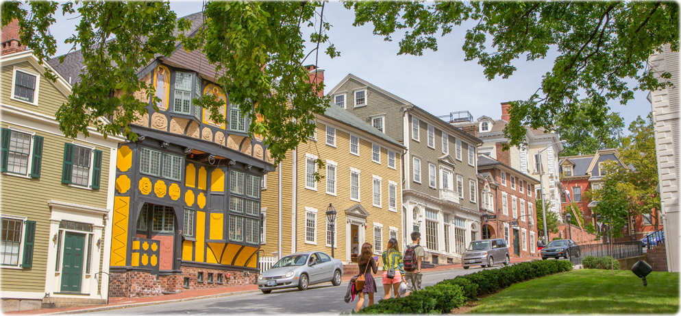
College Hill, Providence
Southeast Lighthouse, Rhode Island (credit: Rhode Island Commerce Corporation).
Providence
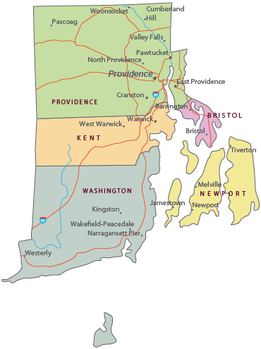
Political Map of Rhode Island

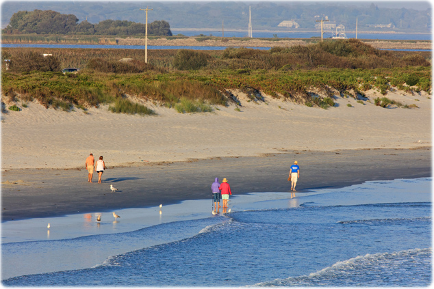
Sachuest Beach, Newport - RI
Rhode Island
Rhode Island Commerce Corporation
Rhode Island Commerce Corporation

Rhode Island Commerce Corporation