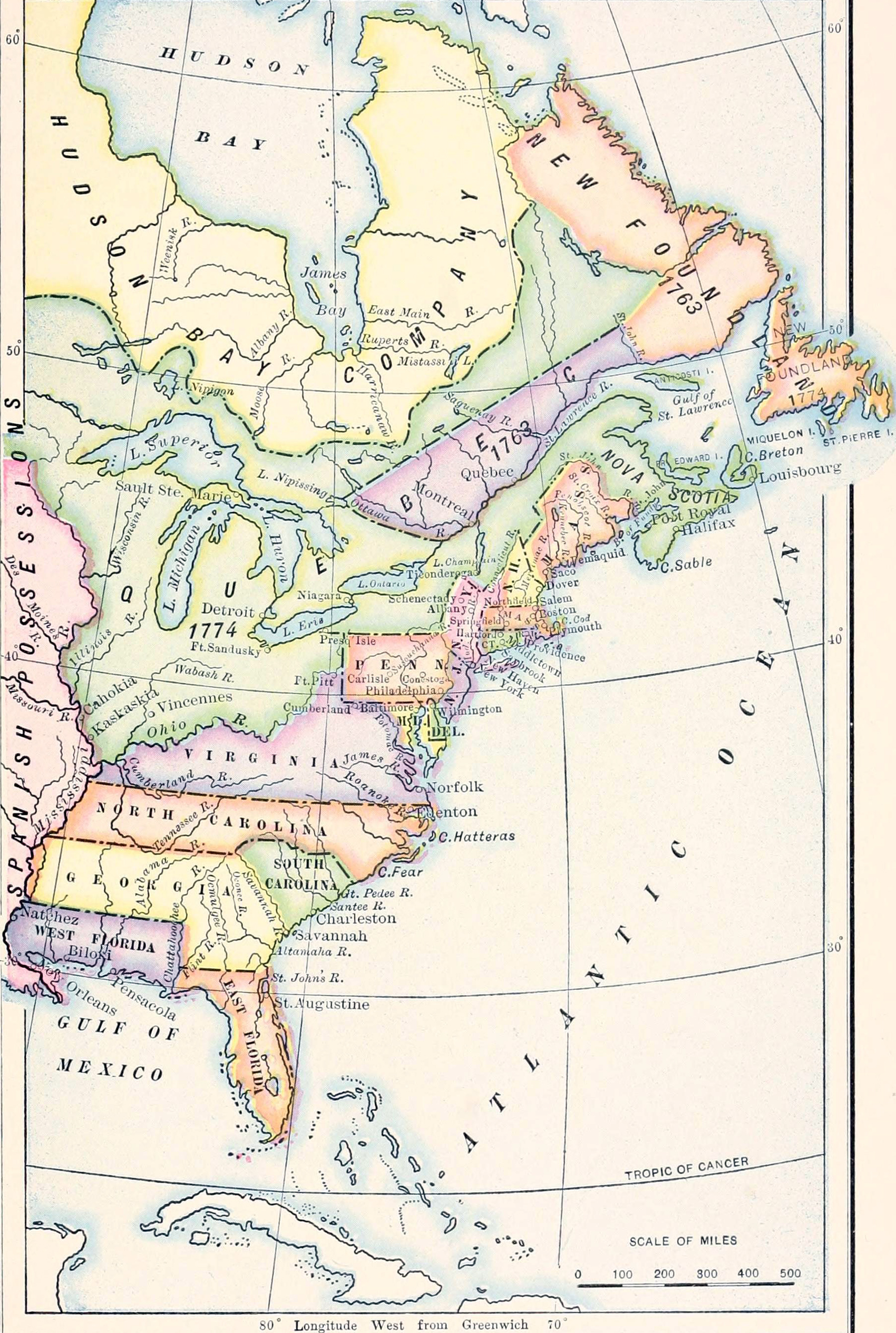
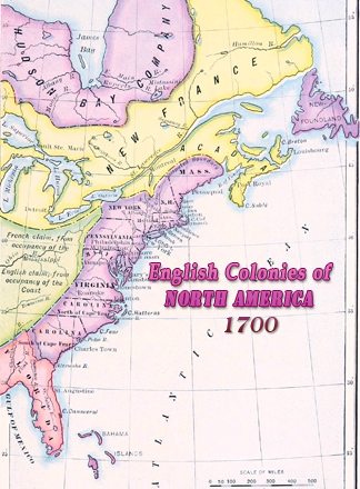
Map of British Colonies of North America, 1763 - 1775
Historical map of the British Colonies of North America, between 1763 - 1775, published in A History of the American People by Woodrow Wilson (1902), then the president of Princeton University and in March 1913, he became the 28th President of the United States of America.
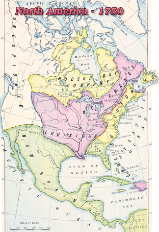
This is a map after the French and Indian War (1754–1763) and before the Revolutionary War (1775-1783). The western parts of the provinces of Georgia, North Carolina and Virginia (as represented here), including part of Quebec, were reserved for the Indians (see a contemporary map of the British Provinces in 1767).
The Hudson’s Bay Company was incorporated in England, in 1670, to seek a northwest passage to the Pacific Ocean, to occupy the lands adjacent to Hudson Bay and to carry on commerce with those lands. In 1702, East and West Jersey were combined to form the Province of New Jersey. Florida, formerly a Spanish colony, was transferred to Britain in 1763 and split into West Florida (its size is exaggerated here) and East Florida, both territories of Britain.
In 1775, thirteen British colonies on the Atlantic coast of North America started a war of independence against Great Britain. These 13 colonies, shown in this map, are: New Hampshire, Massachusetts, Rhode Island, Connecticut, New York, New Jersey, Pennsylvania, Delaware, Maryland, Virginia, North Carolina, South Carolina and Georgia. These original 13 states formed the first composition of the United States of America.
More: Historical maps of United States ►
|
Copyright © Geographic Guide - Historical Geography, American Continent. 18th Century |