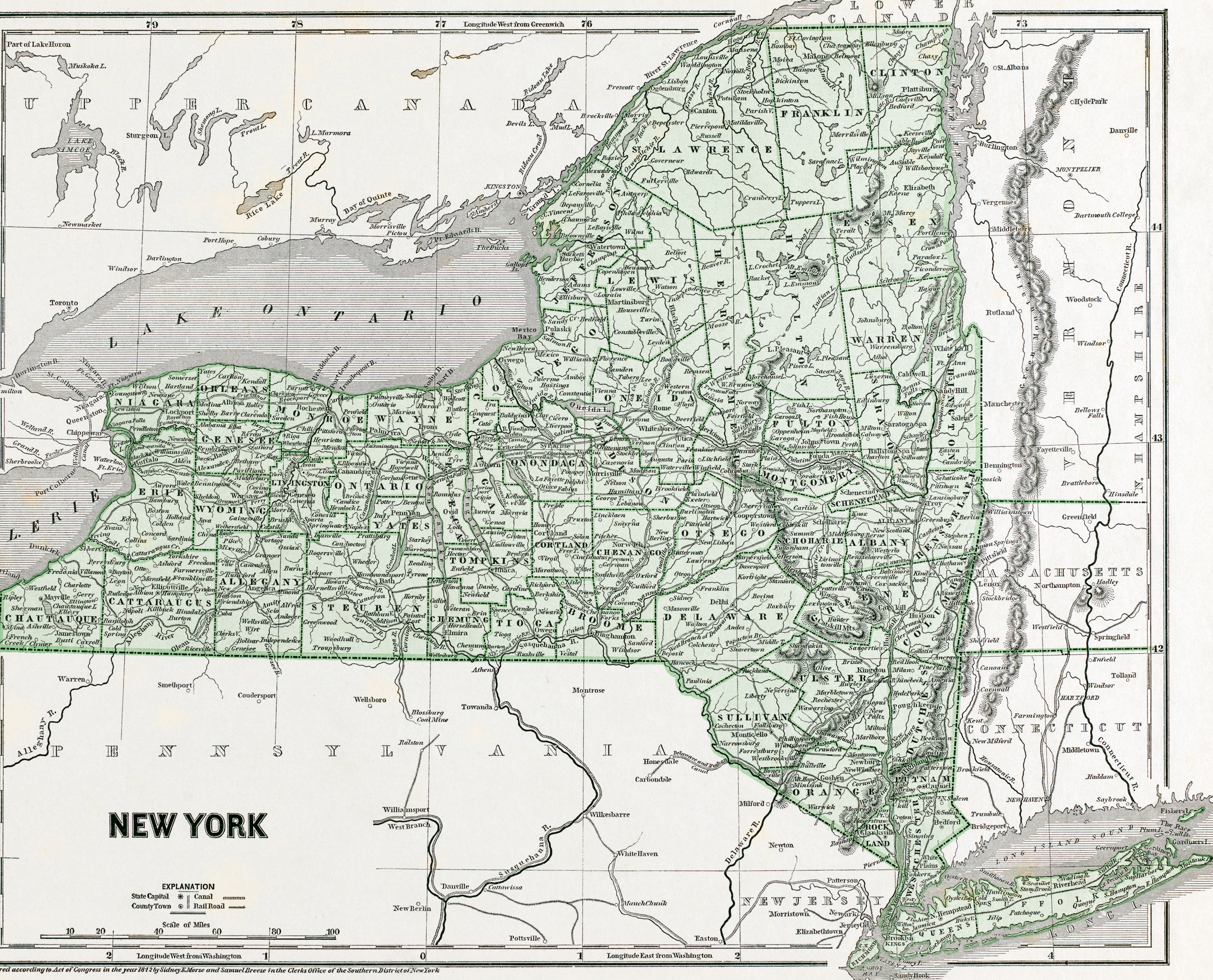
Map of the State of New York - 1842
Map of the State of New York by Sidney Edwards Morse (1794-1871) and Samuel Breese (1802-1873), cartographers, dated 1842. The state capital is New York. Published by Harper and Brothers. Source: Phillips Academy, Digital Commonwealth.
In 1831, the first successful steam railroad running regularly scheduled service between Albany and Schenectady. In 1850, the first telegraph line along a railroad right-of-way (Erie Railroad). The Erie Canal begun in 1817 and opened in its entirety 1825, it is considered the engineering marvel of the 19th Century. When the federal government concluded this project was too ambitious to undertake, the State of New York took on the task of carving 363 miles of canal through the wilderness. Between 1823 and 1828, several lateral Canals opened including the Champlain, the Oswego and the Cayuga-Seneca.
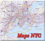
More: Maps of NYC - 19th Century ►
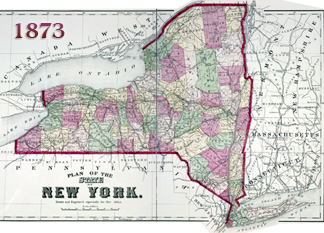
More: Historical maps of New York City ►


Map of the State of New York - 1842

|
Copyright © Geographic Guide - State New York Historical Maps. |