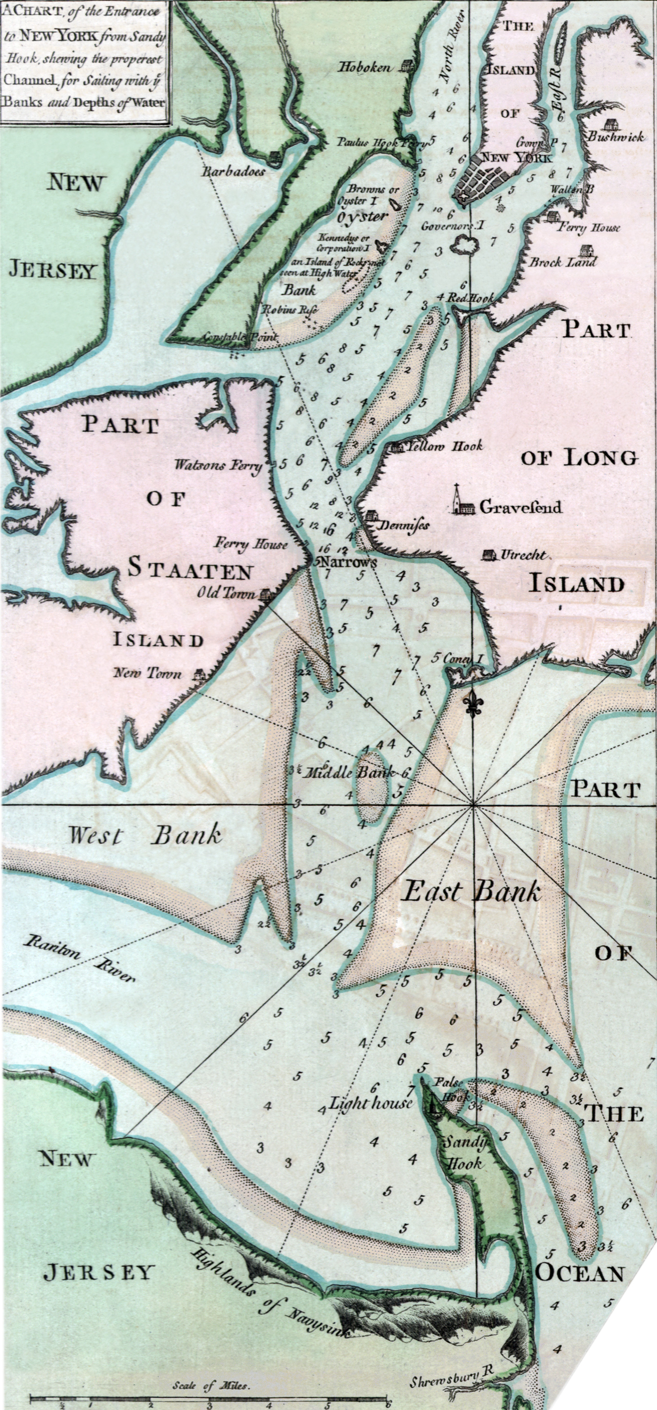
Map of Entrance of New York from Sandy Hook - 1755
This map is an inset of the Plan of the City of New-York, surveyed in the winter of 1775 by John Montrésor, engraved by Peter Andrews. Original title of this part: A Chart of the Entrance to New York from Sandy Hook, shewing the properest Channel for Sailing with ye Banks and Depths of Water.
It shows parts of Long Island, Staaten [Staten] Island, New Jersey, West Bank, Middle Bank and East Bank.
More: Maps of NYC - 18th Century ►

|
Copyright © Geographic Guide - 18th Century Maps, City of New York. |
Map of Entrance of New York from Sandy Hook - 1755
