
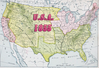
Map of the State of New York - 1873
Plan of the State of New York by Frederick W. Beers, published by Beers, Comstock & Cline, 1873. Part of the Atlas of Long Island, New York. From Recent and Actual Surveys and Records under the Superintendence of F.W. Beers, 1873. Source: New York Public Library.
This 19th century map shows state boundaries (New Jersey, Vermont, New Hampshire, Massachusetts, Connecticut, Pennsylvania and Rhode Island), counties, cities, roads, rivers, lakes and other features. It includes Long Island Sound, Lake Ontario and Canada border, Lake Erie, Lake Champlain (between New York and Vermont).
More: Maps of NYC - 19th Century ►


Click on image to enlarge.
Map of the State of New York - 1873
|
Copyright © Geographic Guide - History USA. Historic American Maps. |