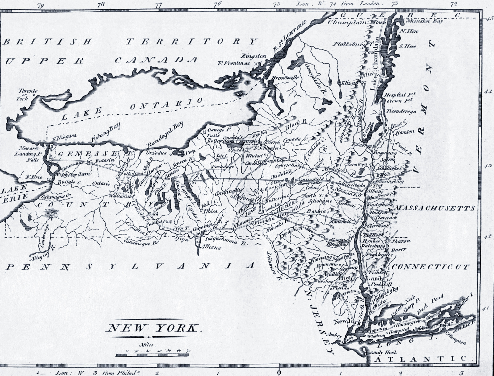
Map of the State of New York - 1806
Map of the State of New York from Carey's American minor atlas. Philadelphia : Mathew Carey, 1806. William Barker sculp. active 1795-1803. Source: Norman B. Leventhal Map Center / Boston Public Library.
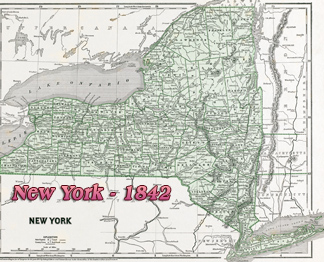
New York is situated in the northeastern United States. The state covers an area of 54,556 square miles, making it the 27th largest state by total area (but 30th by land area). The state borders six U.S. states: Pennsylvania and New Jersey to the south, and Connecticut, Rhode Island (across Long Island Sound), Massachusetts, and Vermont to the east. New York also borders the Canadian provinces of Ontario and Quebec to the north. Additionally, New York touches the Atlantic Ocean to the southeast, the Lake Erie to the west and Lake Ontario to the northwest.
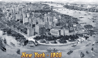
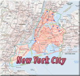
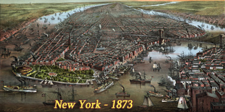
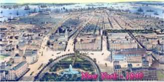
More: Maps of NYC - 19th Century ►
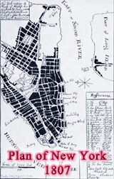
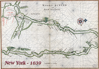
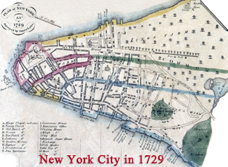
More: Historical maps of New York City ►


Map of the State of New York - 1806
|
Copyright © Geographic Guide - 19th Century New York. |