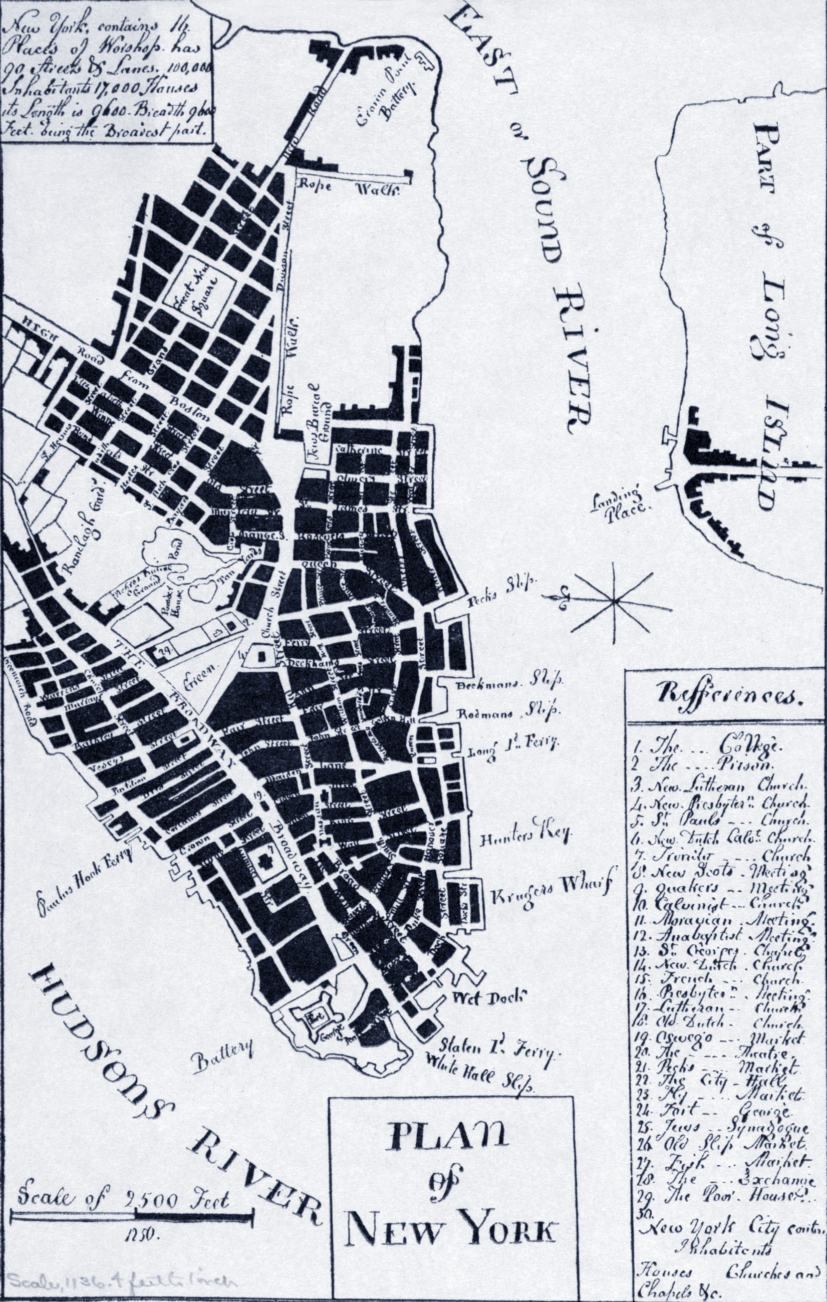
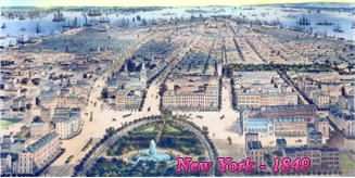
Plan of New York - 1807
Facsimile (1912?) of a plan on New York, in pen and ink, in the log book kept by Major Kirkham, R.N. Drawing circa 1807. Some believe it is based on the Ratzen Plan (1767). Source: Norman B. Leventhal Map & Education Center / Boston Public Library.
More: Historical maps of New York City ►


|
Copyright © Geographic Guide - Maps 19th Century NYC. |

Plan of New York - 1807