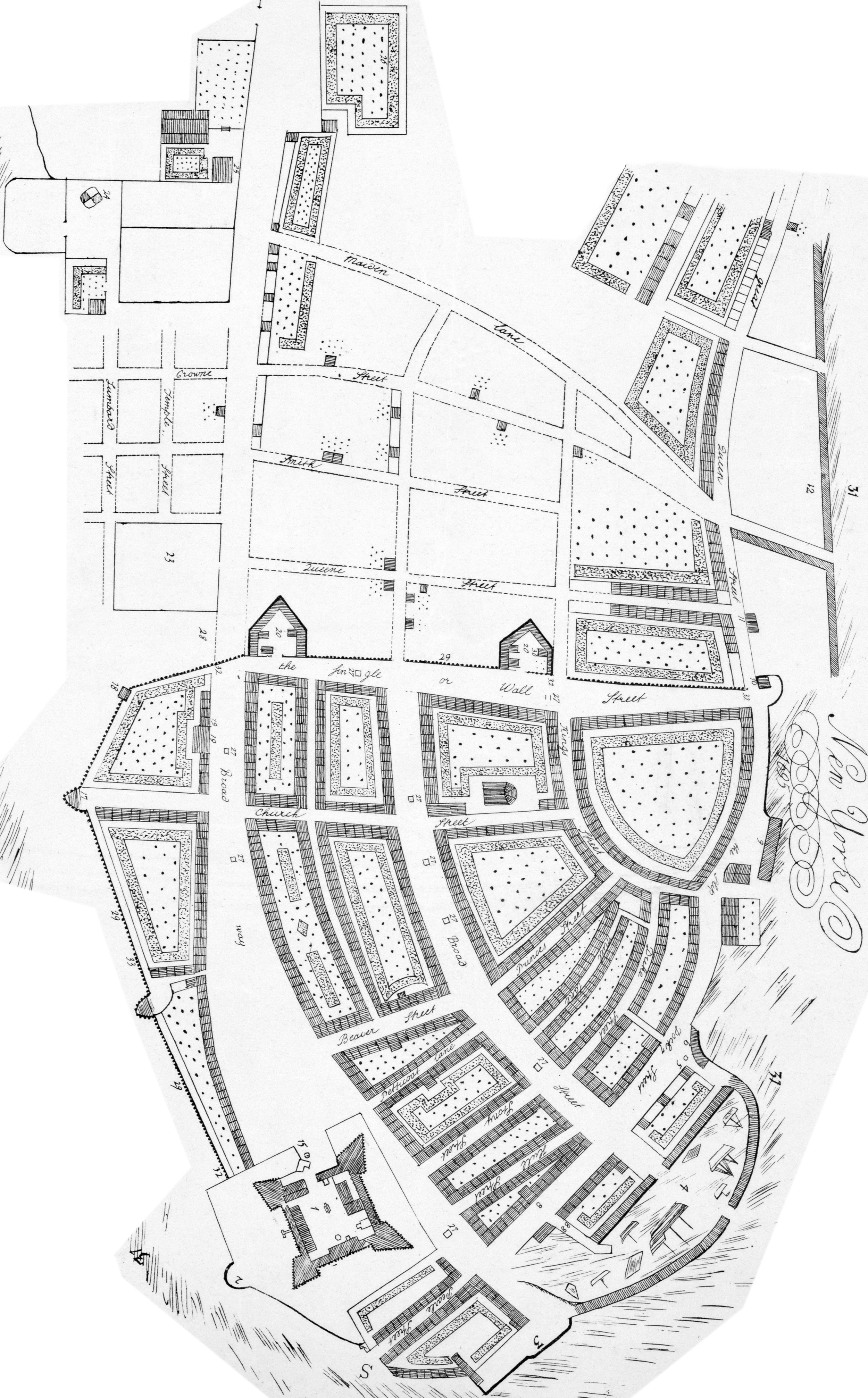
Map of New York in 1695. Drawn in 1843 by G. Hayward after the plan attributed to
John Miller. Published in the Valentine's Manual 1843. The map references are
on the right.
Map of New York in 1695. Drawn in 1843 by G. Hayward after the plan attributed to
John Miller. Published in the Valentine's Manual 1843. The map references are
on the right.
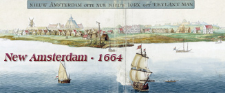
The old New Amsterdam came under English control in 1664 and it was renamed
New York after King Charles II of England granted the lands to his brother, the
Duke of York. The same name was given to the English Province of New York.
Reverend John Miller
(1666-1724) arrived in New York, in 1692, as a designated chaplain to the city's
British garrison. He was the only Episcopal clergyman in the province for three
years. In 1695, during his voyage back to England the ship was captured by
French privateers and he threw his notes and drawings overboard so that they
would not fall into the enemy's possession. After imprisonment in France he
returned to England were he prepared a manuscript map of the city entirely from
memory.
Reference numbers on the map:
1 - The Chapel in the Fort of New
York.
2 - Leysler's half moon [built
August, 1689].
3 - Whitehall battery of 15 guns.
4 - The Old Dock.
5 - The Cage & Stocks.
6 - Stadthouse battery of 5 guns.
7 - The stadt (or State) house
[Town-house].
8 -
Custom House.
8 8 - The Bridge.
9 - Burghers or the slip battery of
10 guns.
10 - The fly blockhouse & half moon.
11 - The slaughter houses.
12 - The New Docks.
13 - The French Church.
14 - The Jews Synagogue.
15 - The Fort well & pump.
16 - Ellets Alley.
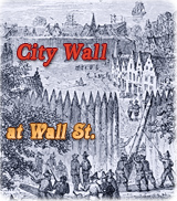
17 - The works [City Wall] on the west side of
the City.
18 - The Northwest Blockhouse.
19 19 - The
Lutheran Church &
Ministers house.
20 20 - The stone points [bastions] on the
north side of the City.
21 - The Dutch Calvinist Church [Garden
Street Church] built 1692.
22 - The Dutch Calvinist Ministers
house.
23 - The burying ground.
24 - A Windmill.
25 - The Kings Farm.
26 - Col. Dungan's Garden.
27 27 - Wells.
28 - The plat of ground for the
English Ministers house.
29 29 - The stockade [City
Wall] with a bank of
earth on the inside.
30 - The ground proper for the
building of an English Church [later Trinity Church].
31 31 - Showing the sea flowing
about N. York.
32 32 - The City gates [Land Gate on
Broadway and Water Gate at the foot of Wall Street].
33 - A postern gate.