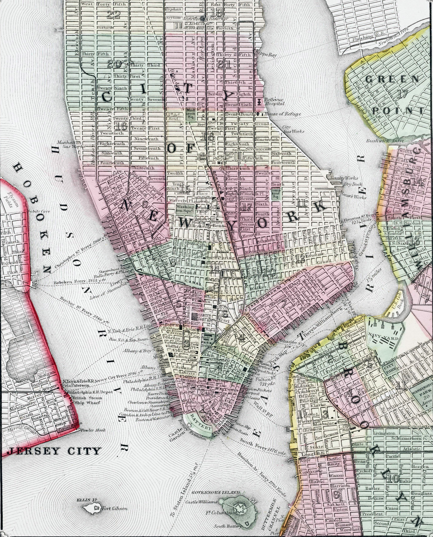
Plan of New York City - 1866
Plan of New York City and environs, copyright 1866 by , S. Augustus Mitchell Jr. Shows political wards, roads, street names, parks, some buildings, military facilities, ferry routes and distances for Manhattan, parts of Hoboken, Jersey City, Greenpoint, Williamsburg, and part of Brooklyn. From Mitchell's New General Atlas.
New York harbor is protected from the ocean by Staten Island and the Brooklyn peninsula. It is much deeper than the harbor of Boston or Philadelphia and this became increasingly important as ship tonnage increased starting in the 1790s.
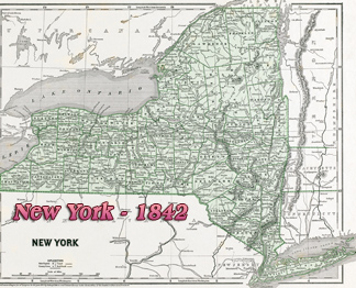
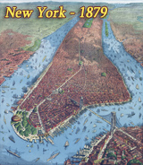
More: Maps of NYC - 19th Century ►


More: Historical maps of New York City ►


Plan of New York City - 1866
|
Copyright © Geographic Guide - 19th Century Maps NYC. |