
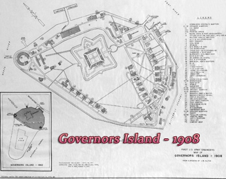
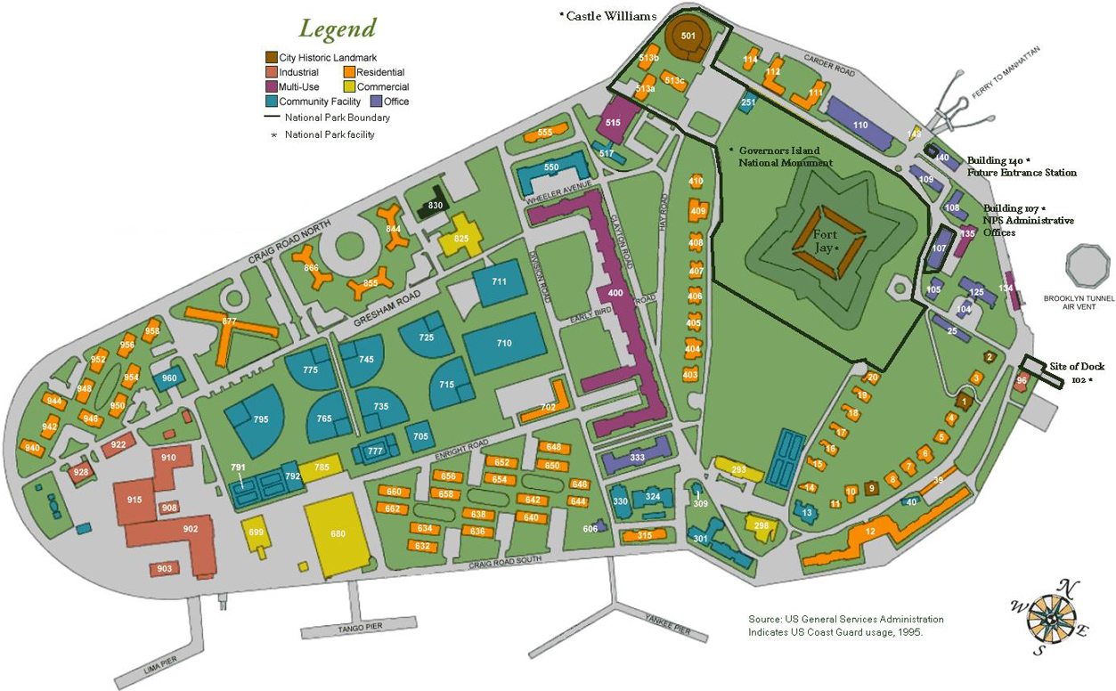
Map of Governors Island - New York
Governors Island is a popular seasonal destination with area of 172-acre, in the New York Harbor, between Lower Manhattan and the Brooklyn waterfront. A new park is complemented by dozens of unique historic buildings, environmental educational facilities, a rich arts and culture program and a 22-acre National Monument managed by the National Park Service. Governors Island offers peaceful settings with sweeping views of the Harbor, Lower Manhattan skyline and Statue of Liberty.

Governors Island is located in New York Harbor, 1/2 mile from the southern tip of Manhattan and 400 yards west of the end of Brooklyn's Atlantic Avenue and Red Hook waterfront. It is accessible only via ferry.
Ferry service is provided from Battery Maritime Building at 10 South Street on the corner of South and Whitehall Streets in Manhattan.
Mailing Address of the Governors Island National Monument: 10 South Street, New York, NY 10004-1921.
Source (modified): Trust for Governors Island, 2020.

BROOKLYN

|
Copyright © Geographic Guide - Maps of NYC. |

Map of Governors Island - New York
Map circa 2004. Source: U.S. National Park Service.
Governors Island in the illustration of New York by John Bachmann, 1850.