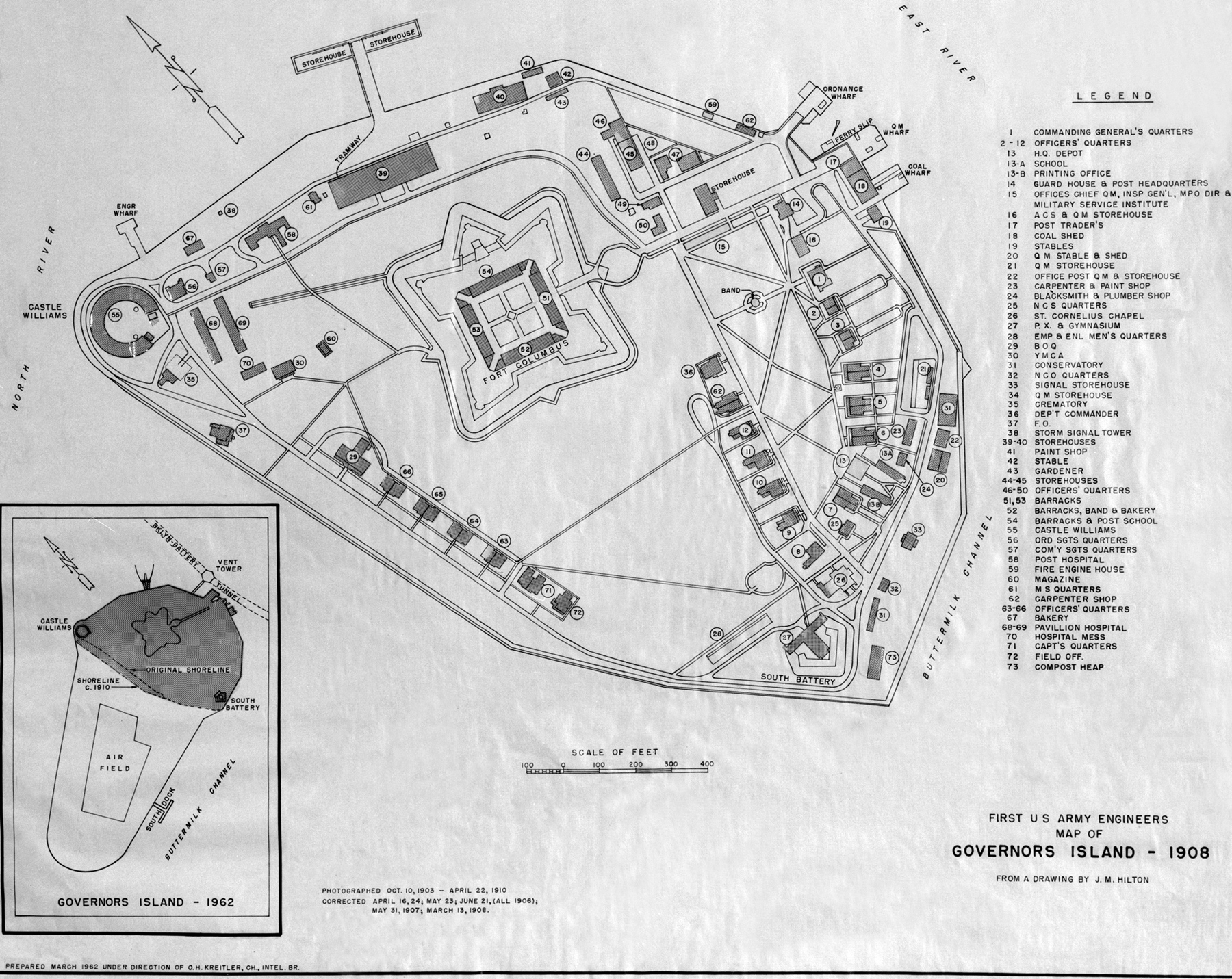
Map of Governors Island - 1908
Title: Photocopy of a map of Governors Island, 1908, drawn by J.M. Hamilton - Governors Island, Overview, New York Harbor, New York County, NY (First US Army Engineers Map of Governors Island - 1908).
Prepared March 1962 under the direction of O.H. Kreitler. Source: Historic American Buildings Survey/Historic American Engineering Record/Historic American Landscapes Survey - Library of Congress Prints and Photographs Division Washington, D.C.

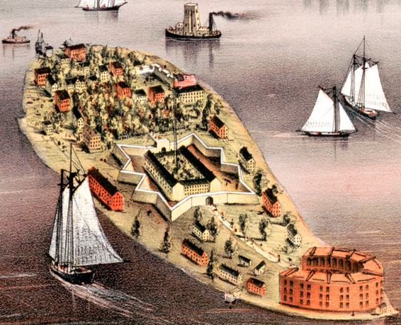
Governors Island - 1879. Part of the illustration The City of Brooklyn by Charles Richard Parsons.


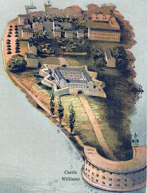
Governors Island - 1874. Part of the Panorama of New York City by John Bachmann.
|
Copyright © Geographic Guide - Old Maps of NYC. |

Map of Governors Island - 1908