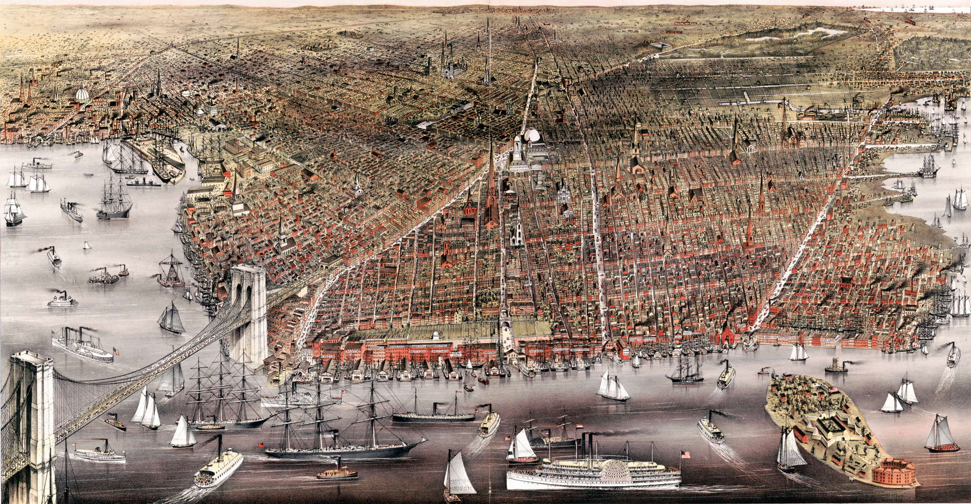
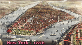
Map of Brooklyn - 1879
Original title: The City of Brooklyn. Copyright 1879. Sketched & drawn on stone by Charles Richard Parsons. Published by Currier & Ives, New York, 1879. Source: Library of Congress Geography and Map Division.
Note: Brooklyn Bridge, in evidence, was not ready at the time. It opened to traffic on May 24, 1883.
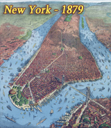
The name Brooklyn comes from the Dutch colonial name Breuckelen, meaning marshland, established in the 17th century. In 1898, Brooklyn joined New York and became part of the same city, also including the Bronx, Queens and Staten Island.


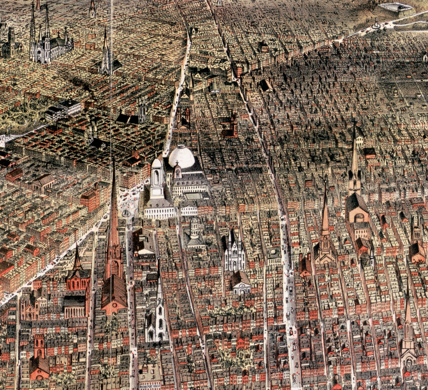
Enlargement of part of the center.
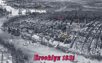
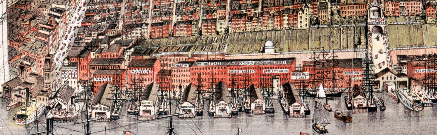
Below, enlargement of part of the harbor.

Map of Brooklyn - 1879

|
Copyright © Geographic Guide - Antique images of NYC. |