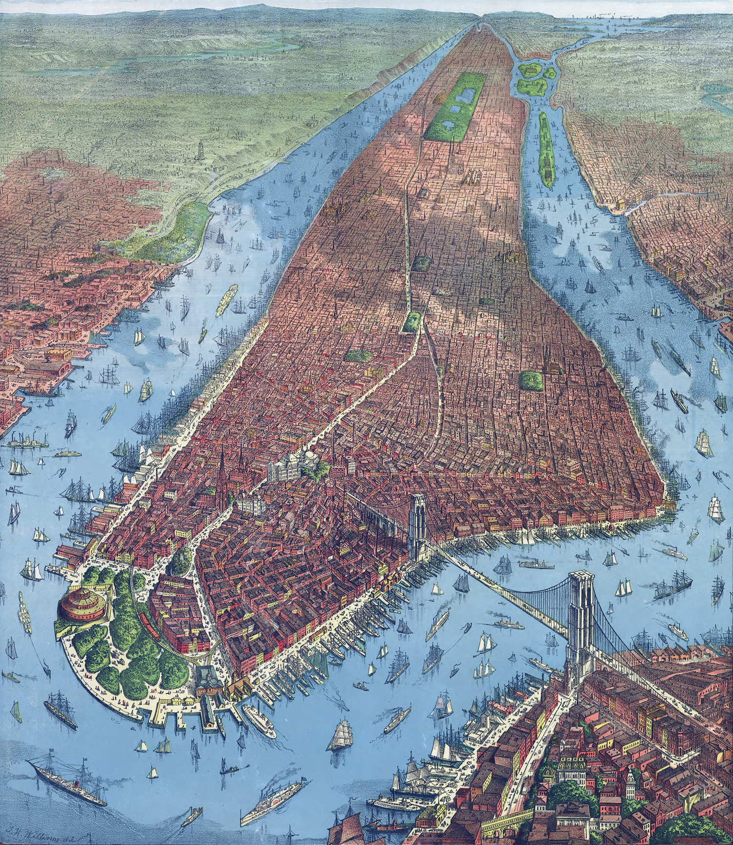
New York in 1879
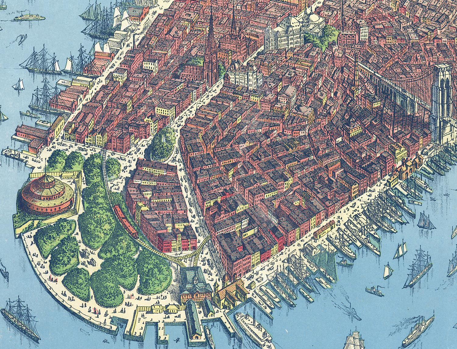
View of New York, perspective map not drawn to scale, by J. W. Williams. Published by Root & Tinker, proprietors of The Clothier and Hatter, New York, © 1879. Source: Library of Congress Geography and Map Division. Enlargement of the tip of Manhattan is below.
The Bowling Green and the Battery, crossed by the elevated railroad, are in the foreground. Brooklyn is to the right. The Brooklyn Bridge was under construction until 1883.
More: Historical maps of New York City ►


|
Copyright © Geographic Guide - 20th Century NYC. Aerial Views |
New York in 1879
