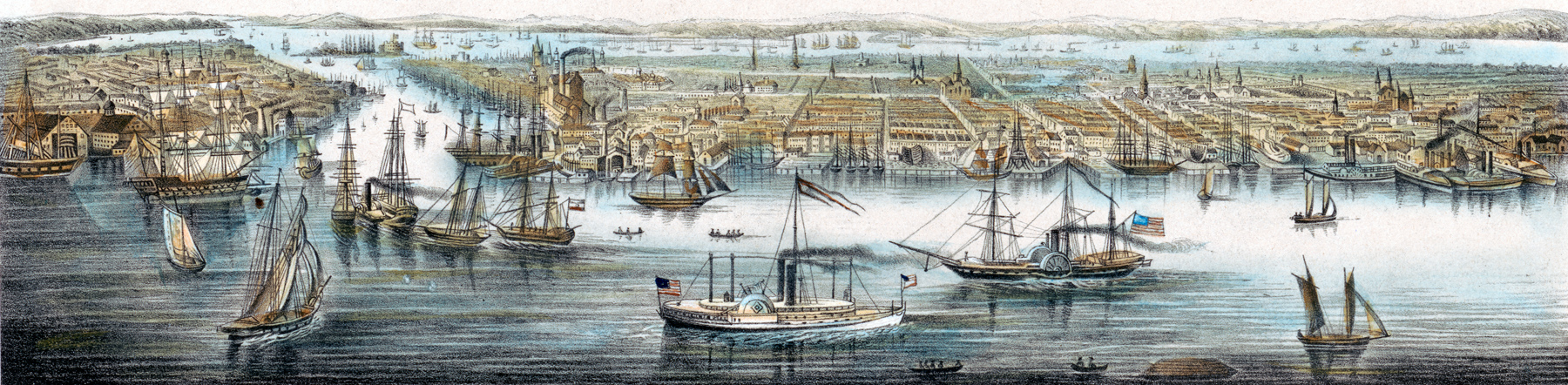
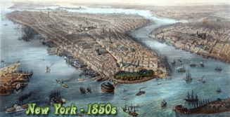
Waterfront of City of New York & Brooklyn - 1850s
This German illustration, drawn approximately between 1850 and 1853, shows part of East River and waterfront of the City of New York and Brooklyn, with ships in the foreground, as seen from Williamsburg. Original title: New-York von der Seeseite aus gesehen / Des Auswanderers Sehnsucht.
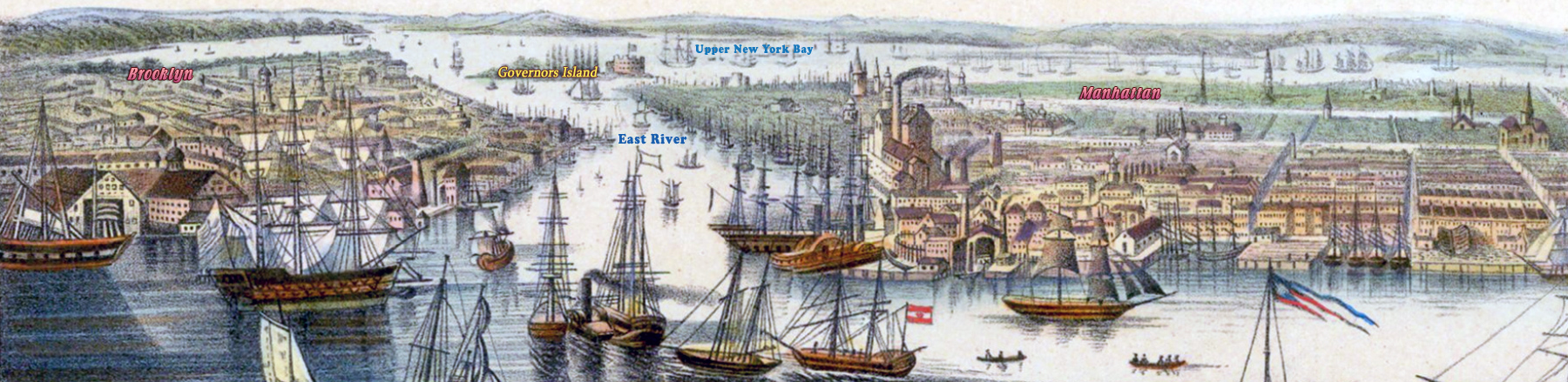
Artist: Johann Friedrich Hesse (1792-1853). Printed in Berlin. Library of Congress. Below, enlargement of the center-left part from a different version of the illustration.
East River is in fact a saltwater tidal estuary. It connects New York Harbor on its south end to Long Island Sound on its north end. It divides Manhattan Island from Queens and Brooklyn, also on Long Island. It also separates the borough of Queens on Long Island from the Bronx on the North American mainland.
|
Copyright © Geographic Guide - Waterfront 19th Century NYC. |
More: Historical maps of New York City ►
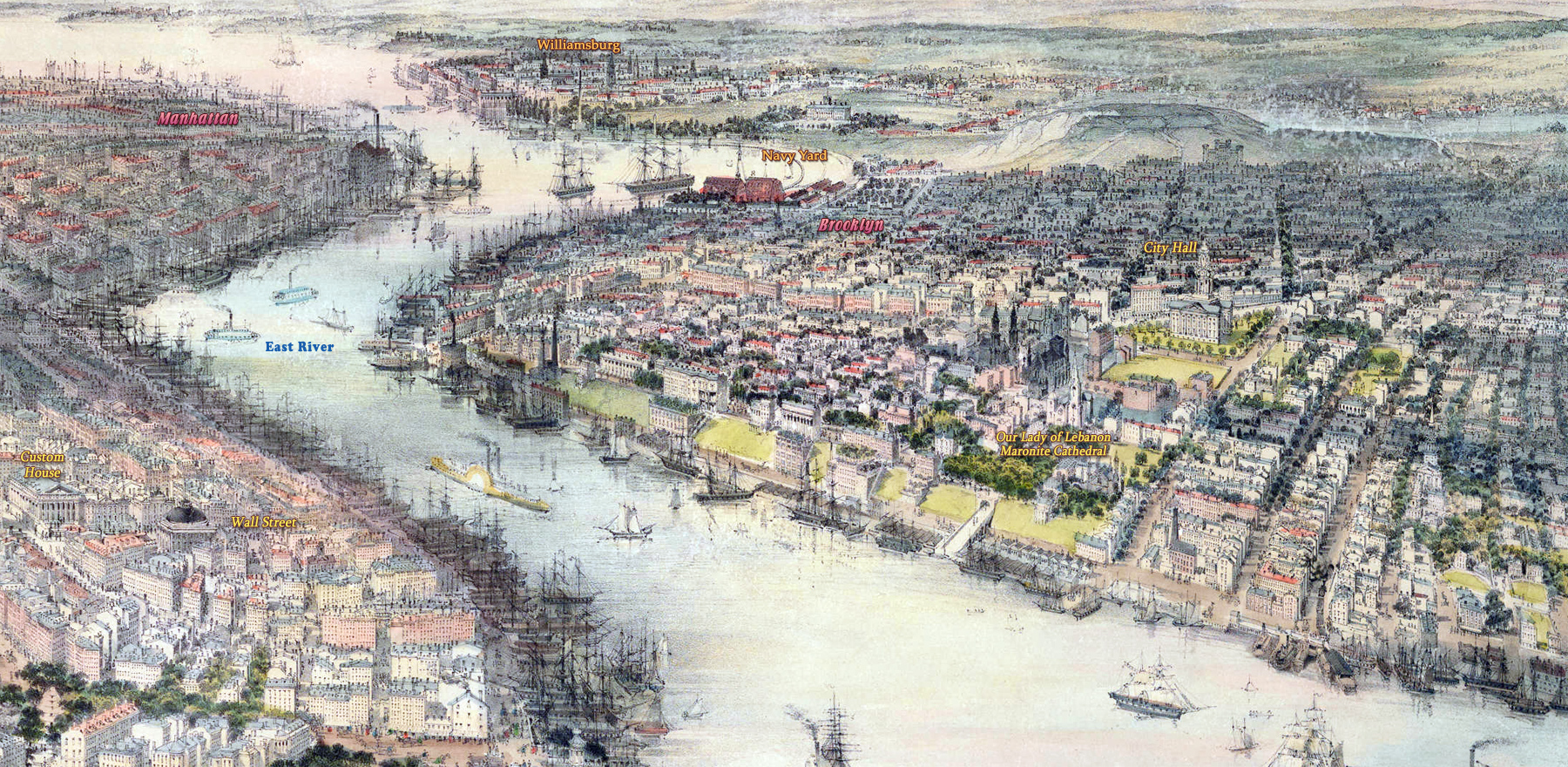
This is a fragment of another image, copyrighted 1850, showing Williamsburg.


Waterfront of City of New York & Brooklyn - 1850s