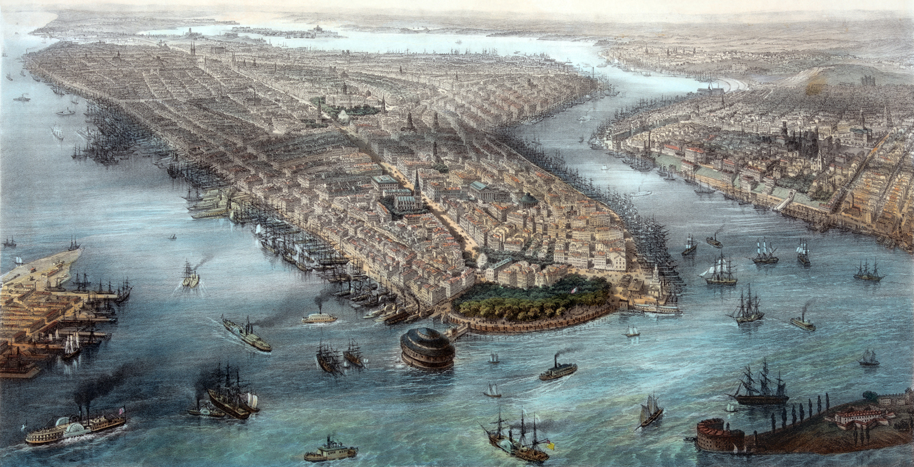
New York & Brooklyn - about 1851
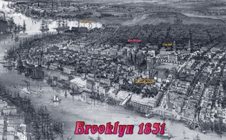
Panoramic view of New York City and Brooklyn (between 1850 and 1852), with Upper New York Bay in the foreground . Original titles (French/Spanish): New York et Brooklyn - Vue prise au dessus dela batterie / Nueva York Y Brooklyn - Vista tomada en cima de la bateria.Below, enlargement of Lower Manhattan.
Illustration drawn by the British artist William Simpson (1823-1899). Hand-colored lithograph by the French printmaker Théodore Müller (1819-1879). It is very similar to the illustration drawn by John Bachmann, copyrighted 1850. Source: Library of Congress Prints and Photographs Division.
After the opening of the Erie Canal, in 1825, Manhattan became
one of the most busiest ports in America. Lower Manhattan was filled with
freight
forwarders, shipping agents and wholesale merchants. The City of New York
continued its fast growth in the following decades of the
19th century.


More: Historical maps of New York City ►
New York & Brooklyn - about 1851


|
Copyright © Geographic Guide - Maps 19th Century NYC. |