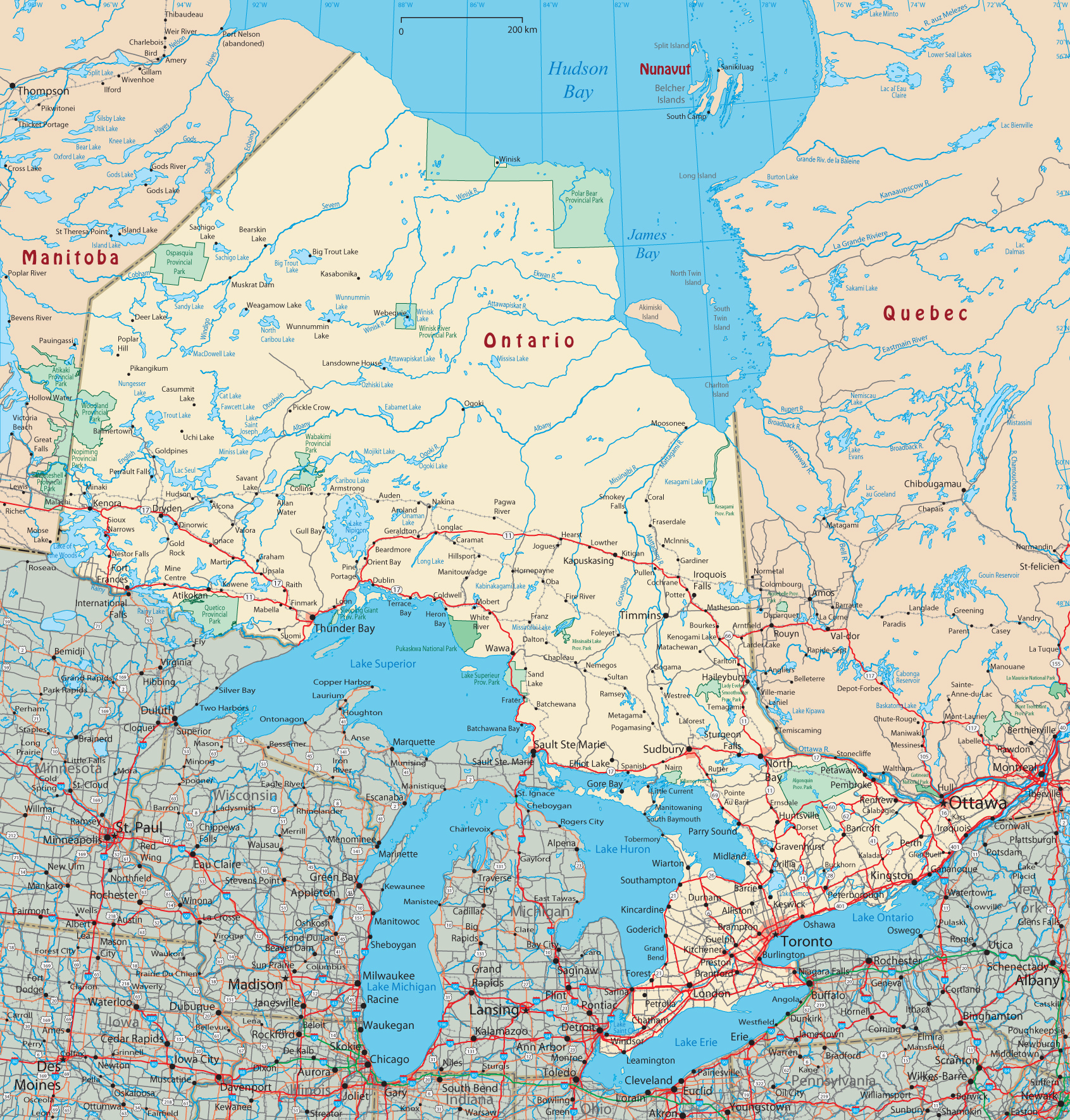
Map of Ontario - Canada

Ontario is a province in southeastern Canada. It is by far the most populous and, after Québec, the second largest province in the country in terms of area (Nunavut and the Northwest Territories are larger, but belong to the territories). Ontario borders the provinces of Manitoba, in the west, and Québec, in the east, as well as five U.S. states in the south: Minnesota, Michigan, Ohio, Pennsylvania and New York.
The capital and the largest city of Ontario is Toronto. Ottawa, the national capital, is located in the east on the border with Québec. Ottawa belongs to Ontario, in contrast to many other large states there is no separate capital district.
|
Copyright © Geographic Guide - Travel American Continent. |

Map of Ontario - Canada