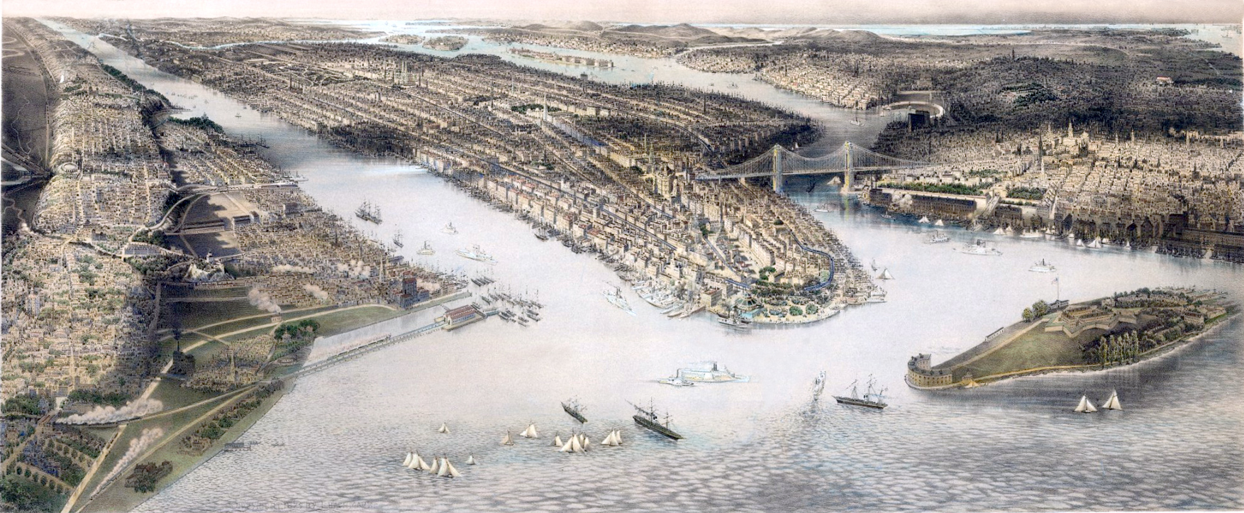
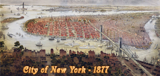
New York City View - 1879
Panoramic View of the City of New York, Brooklyn and environs from the harbor drawn by John Bachmann. Hand-colored engraving published by Herman Bencke. Copyright 1879. Source: Barry Lawrence Ruderman Antique Maps Inc.
The Governors Island is in the foreground, on the right. The port of New Jersey in on the left and Brooklyn, on the right. Lower Manhattan is in the center. The Brooklyn Bridge was under construction since 1870 and was opened to traffic in 1883. The Hudson and East Rivers are filled with a wide array of sailing vessels and ships, illustrating the bustling maritime activity of the time.
The view prominently depicted of the Elevated Train lines in Lower Manhattan and its connection to the South Ferry. The 3rd Avenue Elevated line was constructed between 1875 and 1878 by the New York Elevated Railway Company. The Manhattan Railway Company took control of the New York Elevated Railroad in 1879.
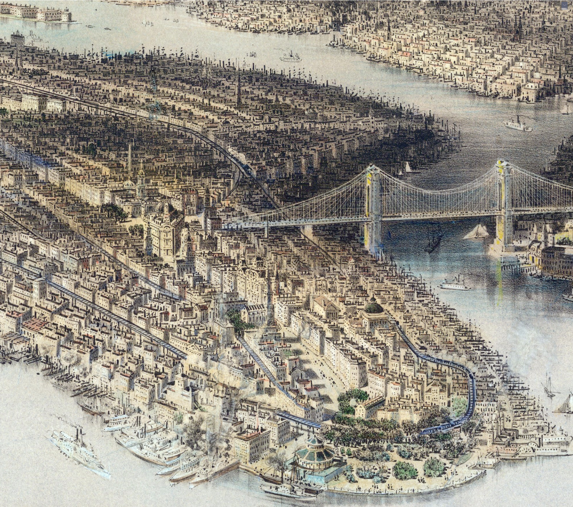
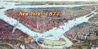
Below, enlargements of the Manhattan part.
|
Copyright © Geographic Guide - 19th Century NYC, Engravings and Maps. |

Enlargement of Lower Manhattan.
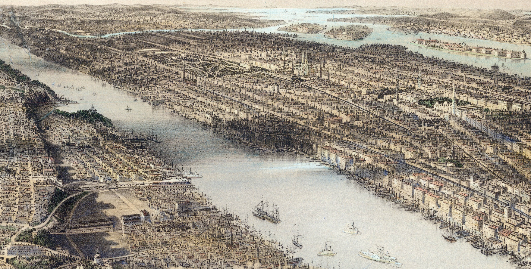
Below, enlargement of Norther Manhattan.
New York City View - 1879
