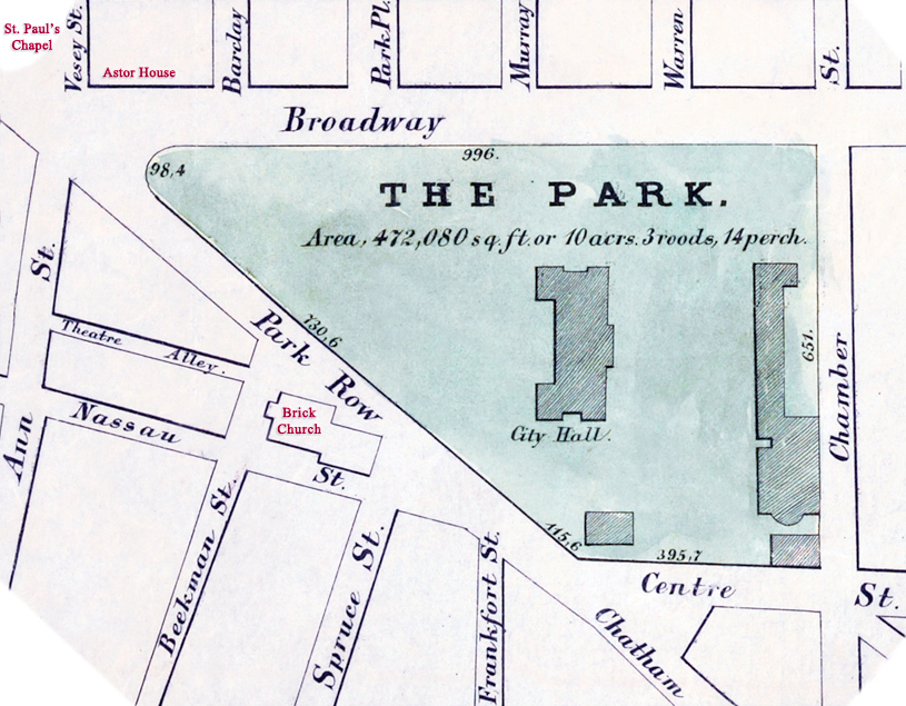
Map of City Hall Park - 1852


Map of the City Hall Park, Manhattan, in 1852. Additional text in red. Source: NYPL.
In 1842, the Croton Fountain was placed in the center of City Hall Park. The old Brick Church fronting Beekman Street was demolished in 1856. The site was then used to erect buildings mainly for the publishing industry, including for the New York Times. Later, part of Park Row became known as Newspaper Row. In 1858, the City Hall was partly destroyed by fire.
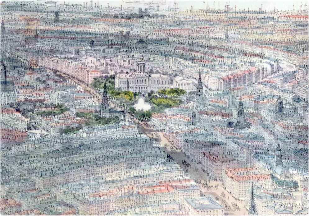
Below, fragment from the View of New York City and Brooklyn by John Bachmann (1814-1896), copyright 1850, showing the area around City Hall Park.
Hall of Records
City Hall Square
Rotunda
American Hotel
|
Copyright © Geographic Guide - Old NYC, 19th Century. |
Lovejoy's Hotel
Map of City Hall Park - 1852
