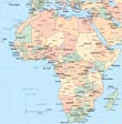
Map of
Côte D'Ivoire
◄ Africa
The Republic of Cote d'Ivoire (Ivory Coast) is a country in western Africa, bordering the North Atlantic Ocean, between Ghana and Liberia. The capital Yamoussoukro. Border with Burkina Faso and Mali. The highest point is Monts Nimba (1,752 m). Major seaports: Abidjan and San-Pedro.

|
Copyright © Geographic Guide - Travel, African Continent. |
