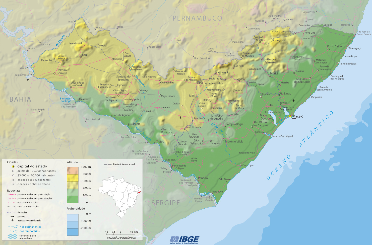
Map of Alagoas

Physical Map of the State of Alagoas

Tourist Routes Source (edited): Governo de Alagoas

Alagoas is a coastal state in the Northeast region of Brazil. The name Alagoas originates from the lakes along its coast near the city of Maceió, the capital. Border with Pernambuco and Sergipe.
Source of the map (edited): IBGE.
|
Copyright © Geographic Guide - Travel South America. |
