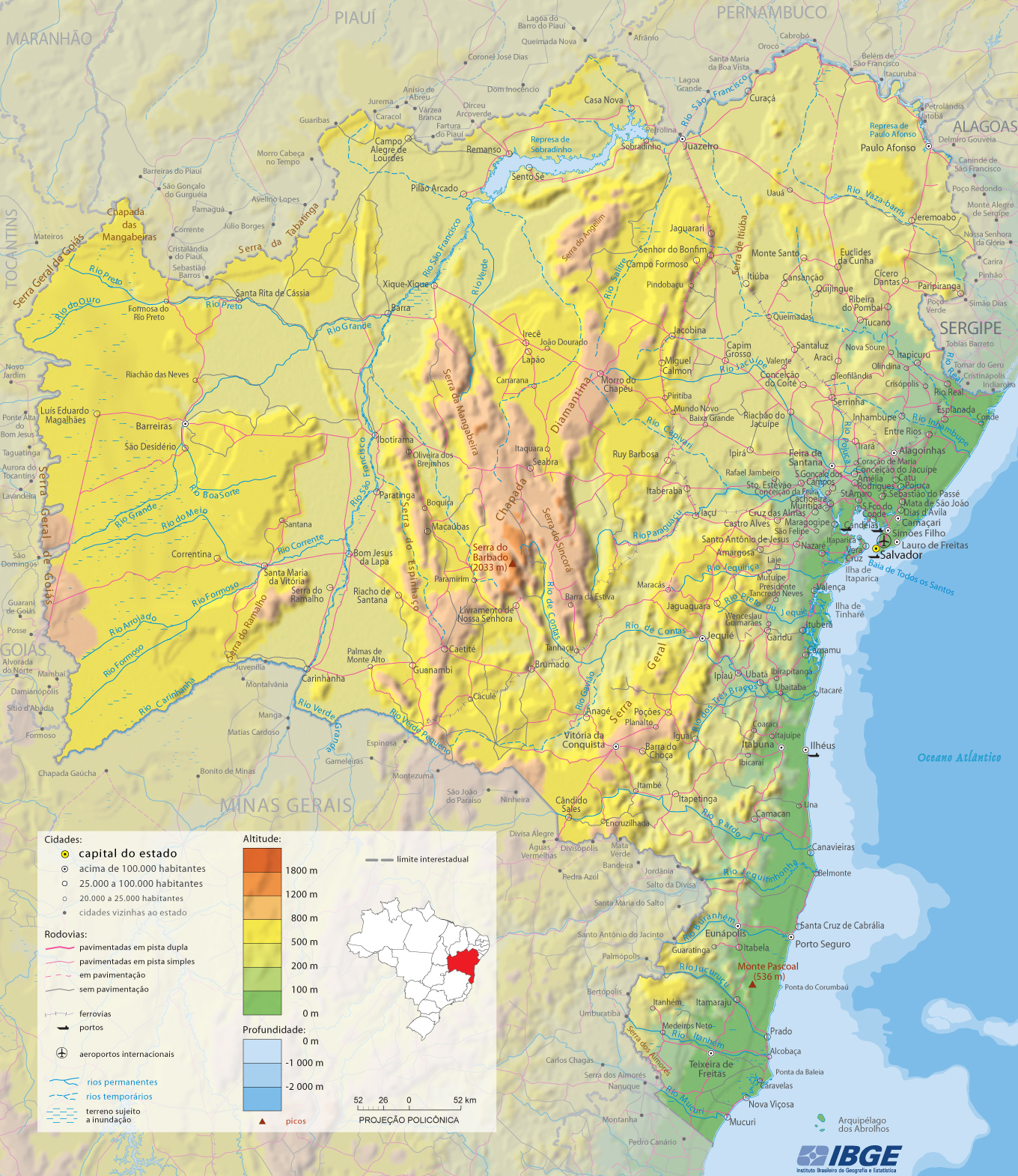
Map of the State of Bahia
The State Bahia lies on the eastern coast of Brasil. It is the fourth most populous Brazilian state and is bordered by the states of Sergipe, Alagoas, Pernambuco, Piauí, Goiás, Tocantins, Minas Gerais and Espírito Santo. The capital Salvador was the first national capital, founded in 1549. The Bahian coastline is the longest in Brazil, measuring over 685 miles.


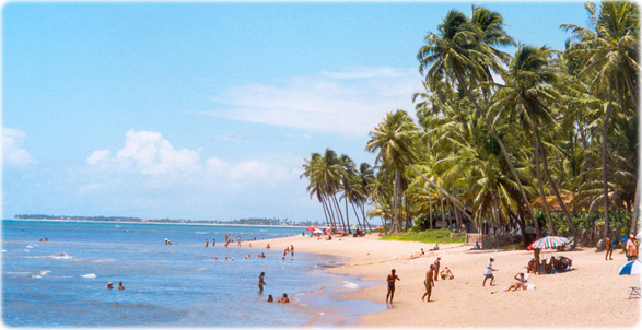
Beach in Praia do Forte, on the northern coast of Bahia. Bahia is known for its wonderful beaches. The state has the longest coastline in Brazil.
|
Copyright © Geographic Guide - Travel South America. |
Map source: IBGE (edited).