Map of Ceará


The State of Ceará is located on the Atlantic coast, Northeast region, with 573 km of coastline. The capital is Fortaleza, the fifth largest Brazilian city. It is bordered by the states of Rio Grande do Norte, Paraíba, Pernambuco and Piauí.
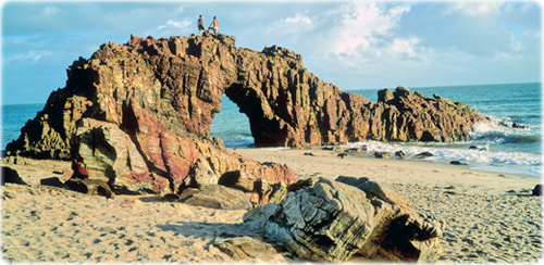
Beach of Pedra Furada in Ceará (photo Christian Knepper).

Source of the map (edited): IBGE.
|
Copyright © Geographic Guide - Travel South America. |